Tropical Depression vs. Tropical Storm: What the Difference Means for U.S. Homes
- Tropical Depression vs Tropical Storm: What's the Difference
- How a Tropical Depression Becomes a Tropical Storm
- Can a Tropical Depression Still Cause Damage
- What This Means for Florida, the Gulf Coast, and the Carolinas
- What Watches and Warnings Actually Tell You
- How to Prepare Before a Storm Escalates
- Prepare Before the Forecast Changes
- FAQs
Every hurricane season, forecasters track systems through several stages before any storm reaches land, and the terms can blur together fast. The tropical depression vs tropical storm difference comes down to one number: wind speed. That number is what decides if a system gets a name, and it also decides how much rain, flooding, and power loss a coastal home might see well before a hurricane ever forms.
Tropical Depression vs Tropical Storm: What's the Difference
The Short Answer
The difference is wind speed.
A tropical depression tops out at 38 mph, while a tropical storm runs from 39 to 73 mph, and either one can bring serious flooding and wind damage well before hurricane status ever enters the picture.
Wind Speed Is What Separates Them
That 39 mph threshold is only the starting point. A tropical storm holds that name all the way up to 73 mph, and it only becomes a hurricane once winds cross 74 mph. So in a straight tropical storm vs tropical depression comparison, the real dividing line sits at 39 mph, and the storm keeps building through a fairly wide range before it earns a stronger label.
Forecasters base this classification on sustained wind speed, which is measured as an average over roughly one minute, not on wind gusts. That distinction carries real weight, because a storm can produce gusts well above its official category, even while its sustained winds still place it firmly in tropical storm range rather than hurricane range.
Storm Type | Maximum Sustained Wind Speed | Named? | Typical Impact |
|---|---|---|---|
Tropical Depression | 38 mph or less | No, tracked by number | Rain and localized flooding |
Tropical Storm | 39 to 73 mph | Yes | Flooding, wind damage, power loss |
Hurricane | 74 mph or more | Yes, keeps the name from the tropical storm stage | All tropical storm impacts, plus major structural damage and surge |
Naming Only Starts at Tropical Storm
A tropical depression does not get a name. Forecasters track it by number instead, such as Tropical Depression Four. Once winds cross into tropical storm range, the National Hurricane Center assigns a name from that year's list, and the storm keeps that name through any later upgrade to hurricane status.
How a Tropical Depression Becomes a Tropical Storm
What Has to Happen First
A tropical depression starts as a cluster of thunderstorms over warm ocean water, with enough rotation to count as an organized system. For it to strengthen, that rotation has to tighten around a clear center, and a few conditions need to line up:
Ocean water warm enough to fuel the storm, typically at least 80 degrees Fahrenheit
Low wind shear, so winds at different altitudes are not tearing the storm apart
Plenty of moisture in the surrounding atmosphere to sustain thunderstorm activity
A tightening, well-defined center of rotation
How Fast This Can Happen
Some systems take days to cross the tropical storm threshold, and others do it in under 24 hours when ocean conditions are especially favorable. That is why forecasters update storm advisories every few hours during active weather, because a system's classification can shift faster than a daily forecast would suggest.
Much of that real-time data comes from reconnaissance aircraft, often called Hurricane Hunters, that fly directly into a storm and drop instruments to measure wind speed, pressure, and moisture at different altitudes.
Satellites can estimate a storm's strength from above, but flying into the system gives forecasters the most accurate wind readings, and it is one reason the National Hurricane Center can issue special updates between its routine advisories, which normally go out every six hours.
Can a Tropical Depression Still Cause Damage
Yes, Even Without Hurricane Status
A tropical depression or tropical storm never needs to reach hurricane strength to cause real damage. The same hazards show up again and again with both:
Heavy rain and local flooding
Downed trees and broken branches
Rough coastal surf and rip currents
Power outages, sometimes lasting for days
Minor to moderate structural damage from wind gusts
In many storms, rainfall causes more destruction than wind ever does.
What Actually Causes Most of the Damage
Wind speed determines the category, but several other factors usually decide how much damage a community actually sees:
Rainfall totals, because more rain generally means more flooding
Forward speed, because a slow-moving storm can drop rain over the same area for hours or days
Storm surge timing, because a surge that arrives at high tide pushes water even farther inland
Local drainage and elevation, which affect how quickly floodwater can clear once the rain stops
A fast-moving storm tends to spread its rain over a wider area but drops less in any one spot, while a storm that stalls or moves at a crawl can sit over the same neighborhoods for a full day or longer. That difference in forward speed often ends up being the bigger factor in how much flooding a region actually experiences, ahead of the wind speed number itself.
What This Means for Florida, the Gulf Coast, and the Carolinas
Florida
Florida's flat, low-lying coastline means storm surge can travel farther inland than residents expect, and the state's many rivers and low-lying neighborhoods can flood quickly once heavy rain bands stall overhead. Both coasts, Atlantic-facing and Gulf-facing, carry real storm surge and flooding risk from a tropical storm alone, well before any system reaches hurricane strength.
The Gulf Coast
Barrier island communities along the Gulf Coast face a similar storm surge risk, because there is often little elevation standing between the shoreline and the first row of homes. Slow-moving systems in the Gulf can also stall for extended periods, dropping heavy rainfall totals over the same coastal counties for a day or longer.
The Carolinas
Along parts of the Carolinas, onshore winds can push water in from the sounds behind barrier islands, flooding neighborhoods that face the calmer inland water rather than the open ocean. Inland parts of the Carolinas also see repeated flooding from tropical systems, because rainfall bands can stall over the same river basins for hours at a time.
Other Places at Risk
Tropical storms and their remnants can cause serious flooding well beyond the coast, including inland areas of the Southeast, the Appalachians, and states farther up the Eastern Seaboard when a system recurves north.
These communities often sit outside any evacuation zone, so residents there are sometimes the least prepared for the flooding a weakening tropical system can still produce.
What Watches and Warnings Actually Tell You
Watch: Conditions Are Possible
A tropical storm watch means conditions are possible in the area, typically issued about 48 hours before tropical storm force winds might arrive. It works as a signal to finish any outstanding preparation instead of waiting for more certainty, because the exact track can still shift once a watch goes up.
Warning: Conditions Are Expected
A tropical storm warning means those conditions are expected in the watch area, usually within 36 hours. At this stage, there is little time left for major projects, only for finishing the basics and settling in before wind and rain arrive. The National Hurricane Center issues both alerts based on a storm's current track, speed, and how confident forecasters are in where it will go next.
How to Prepare Before a Storm Escalates
A system can move from tropical depression to tropical storm to hurricane over a day or two, and power grids along the coast often fail before the strongest winds even arrive. A few simple steps ahead of time keep a household running through that stretch.
1. Charge Your Phone and Keep It Charged
A charged phone keeps you connected to weather alerts and family, even during hours-long outages.
2. Set Up Backup Lighting
Battery-powered lanterns or flashlights placed in easy-to-find spots make outages far less stressful once night falls.
3. Stock and Secure Your Fridge
A full fridge holds cold longer during an outage, and securing loose items keeps food safe if winds pick up around the house.
4. Keep Your Router Powered
Staying online for storm updates and check ins matters most in the hours right before and after a storm passes.
5. Have Fans Ready for the Aftermath
Power often stays out well after the rain clears, and fans help keep a home comfortable during the cleanup that follows.
6. Have Backup Power on Hand
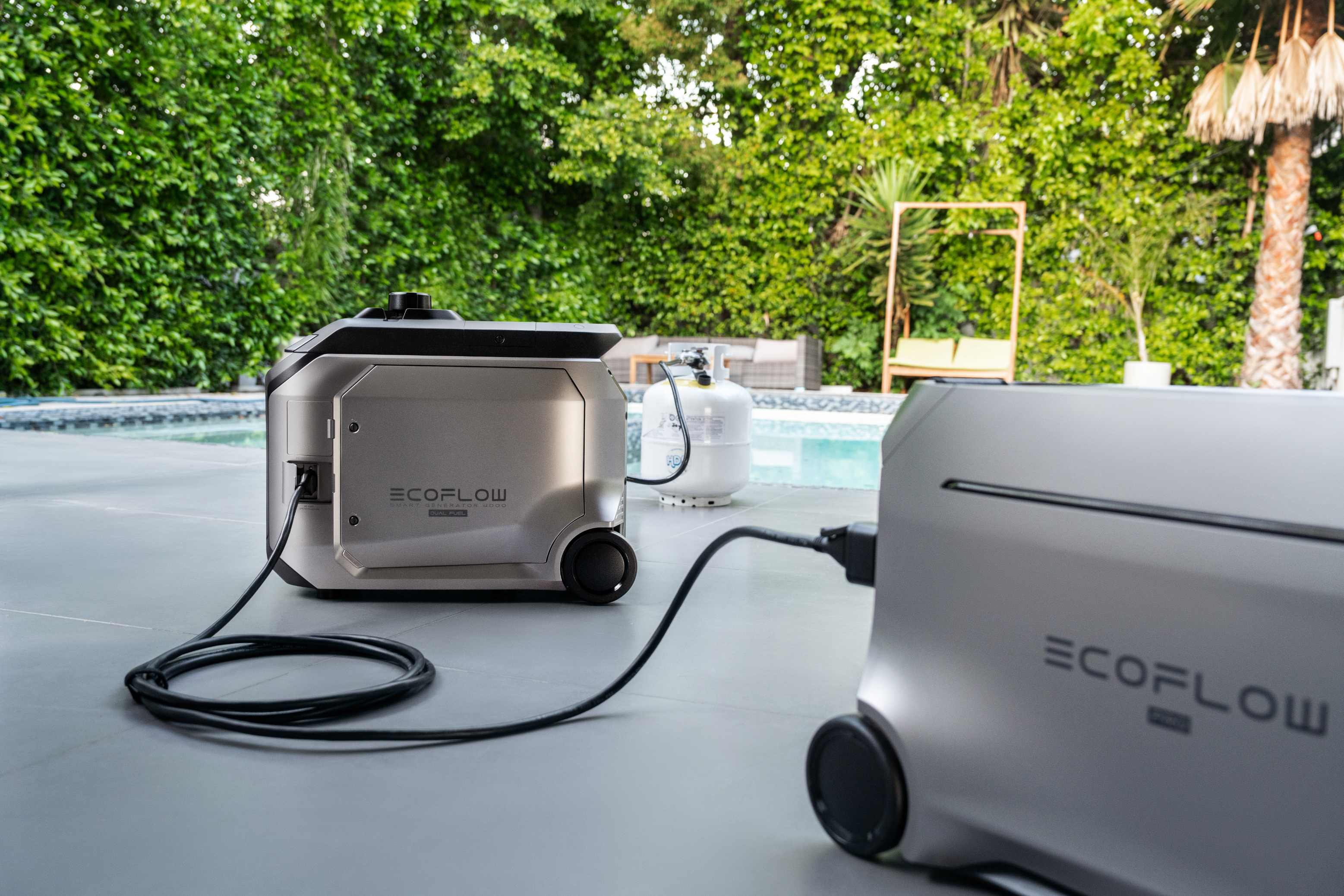
A portable power station like the EcoFlow DELTA Pro 3 gives a household enough capacity to keep a fridge, phone, router, and fans running through an outage, and it can recharge through solar panels if the grid stays down for days. The unit starts at 4 kWh and can expand with additional batteries, so a household can size backup power to match how long outages in their area tend to last.
7. Don't Wait for Hurricane Status to Prepare
A tropical depression or tropical storm can cause the same flooding, downed trees, and power loss as a much stronger system, so waiting for an upgrade before taking action can cost valuable time. Treat the early stages of a system with the same seriousness as a potential hurricane.
8. Don't Skip Testing Your Equipment Ahead of Time
Flashlights with dead batteries, an untested generator, or a power station that has not been charged in months are common surprises once an outage actually starts. Testing backup equipment before hurricane season begins, and again once a system is being tracked, avoids finding out something does not work at the worst possible time.
Prepare Before the Forecast Changes
A tropical depression and a tropical storm may sound less serious than a hurricane, but both can bring flooding, downed trees, and extended power outages to coastal and inland homes alike. Checking forecasts early, knowing what a watch or warning means, and having backup power ready make any stage of a storm easier to handle. EcoFlow builds the kind of power solutions that keep a home ready no matter how a forecast changes.
FAQs
Q1: Does a tropical storm always turn into a hurricane?
No. Many tropical storms weaken before reaching hurricane strength, especially if they move over cooler water or run into strong wind shear. Ocean temperature, atmospheric moisture, and wind patterns all affect if a storm keeps strengthening or starts to break down. Some tropical storms make landfall and fade out without ever crossing the 74 mph mark that defines a hurricane.
Q2: How long does a tropical storm usually last?
Most tropical storms last anywhere from a few days to about a week, though the exact time depends on ocean conditions and steering winds. Some weaken quickly after landfall as they lose access to warm water, while others stall and linger, dropping heavy rain over the same area for an extended stretch.
Q3: Can two tropical storms exist at the same time?
Yes. It is common for the Atlantic basin to have multiple named systems active at once, particularly during the peak of hurricane season in August and September. Each storm gets tracked and named separately, and their paths can occasionally influence each other if they pass close enough together.
Q4: How are tropical storm names chosen each year?
Names come from a set of six lists maintained by an international meteorological organization, and the lists rotate on a six year cycle, alternating between male and female names in alphabetical order. If a storm causes exceptional damage or loss of life, its name gets retired and replaced, so that name is never reused for a future storm.
Q5: What is the difference between a tropical storm and a tropical wave?
A tropical wave is an early, disorganized cluster of thunderstorms drifting off the African coast or forming over warm ocean water, with little to no rotation. A tropical storm has already developed a defined, rotating center and sustained winds of at least 39 mph, making it a far more organized and trackable system.
Disclaimer: This content is for general informational purposes only and is not a substitute for official storm guidance. Always follow forecasts, watches, warnings, and evacuation orders issued by the National Hurricane Center and your local emergency management officials.
For press requests or interview opportunities, reach out to our media team
media.na@ecoflow.com