Maine Nor'easter and Flooding Guide: The Coast, the Rivers, and the Power
- Maine's two storm hazards: Coastal Nor'easters and river floods
- Battery backup when a Maine storm or flood cuts power
- On the coast: what the January 2024 storms showed
- Inland: rain on snow, rising rivers, and ice jams
- Where to check Maine storm, river, and outage conditions
- Getting a Maine home ready for both
- Conclusion
- FAQs
Maine saw a major run of storms in December 2023 and January 2024. On December 19, 2023, the Kennebec River reached its highest level at Augusta since 1987. Two coastal storms followed on January 10 and 13, 2024. The second set a record tide in Portland. These winter storms showed two major hazards Maine faces: coastal flooding and river flooding. This guide explains both risks, backup power options, key warning signs, and the official sources to check before and during a storm.
Maine's two storm hazards: Coastal Nor'easters and river floods
The same low-pressure system can affect different parts of Maine in different ways. Along the coast, storm surges and waves can push water over seawalls and wharves. Inland, heavy rain can fall on snowpack or frozen ground. Rivers may then rise hours or even a day after the rain ends.
The National Weather Service defines a nor'easter as a storm along the East Coast with winds that typically come from the northeast over coastal areas. These storms are most common and most severe from September through April. They often reach peak strength near New England and the Canadian Maritimes.
The Maine Emergency Management Agency lists seven flood types: river, ice jam, flash, coastal, lake, urban, and dam failure. For storm planning, two types matter most here: coastal flooding and inland river flooding.
Coastal nor'easter flooding | Inland river flooding | |
What drives it | Storm surge and waves arriving during a high astronomical tide | Heavy rain, snowmelt, or both; ice jams can also raise water |
Where | Shoreline, harbors, and tidal rivers from York County to Washington County | Kennebec, Androscoggin, Penobscot, Saco, St. John, and tributaries |
How fast | Often peaks near high tide and falls within hours | Rivers may crest a day or more after rain ends |
Typical season | Fall through early spring | Any month with heavy rain, with major winter and spring risks |
Gauge to watch | NOAA tide gauge at Portland | USGS and NWS river gauges, such as the Kennebec at Augusta |
Major Maine floods
Maine has seen several major floods over the past century. The state's own emergency management records include these events:
Event | Date | What happened |
Great Flood | March 1936 | Central and southern Maine; 81 highway bridges were destroyed or damaged |
Groundhog Day Storm | February 1976 | About 12 feet of water reached downtown Bangor |
April Fool's Day Flood | April 1987 | Record peaks occurred at 13 of 35 USGS gauges; more than 2,100 homes flooded |
Southern Maine flooding | October 1996 | Up to 19 inches of rain fell in York and Cumberland counties |
Patriots Day Storm | April 2007 | About 8.5 inches of rain fell on a snowpack in southern and central Maine |
St. John and Aroostook River flooding | April–May 2008 | The St. John River reached 30.17 feet at Fort Kent, 5 feet above flood stage |
December 2023 and January 2024 storms | Dec. 18, 2023; Jan. 10 and 13, 2024 | Central Maine saw its most severe flood since 1987, followed by historic coastal storm surge |
Small streams rise fastest, so it helps to know how flash flood watches versus warnings differ before the first alert hits your phone.
Battery backup when a Maine storm or flood cuts power
Maine is the most forested state in the country, with more than 88% of its land area covered by forest. During the December 18, 2023 storm, the Weather Prediction Center recorded a 68 mph wind gust at Augusta. Strong winds can affect trees and power lines across the state.
A winter outage can affect several basic systems at once. A furnace blower may stop. A well pump may lose power. A sump pump may also stop when you need it most.
The right backup setup depends on which loads you need to keep running.
EcoFlow DELTA Pro Ultra X
The EcoFlow DELTA Pro Ultra X is the installed option for homes that need backup power through selected hardwired circuits. With the right setup, it provides 12kW of output and 12kWh of capacity in the standard bundle. The system can expand with additional inverters and batteries.
For whole-home backup, this guide recommends pairing the EcoFlow DELTA Pro Ultra X with Smart Home Panel 3, installed by a licensed electrician. Coverage depends on the home's loads.
Its automatic switchover takes about 20 milliseconds with Smart Home Panel 3. This can keep selected circuits powered when the grid fails.
Installation and permitting times can vary. EcoFlow describes the system as plug-and-play, but electrical panels, permits, and installer schedules can affect the actual timeline.
EcoFlow DELTA 3 Max
The EcoFlow DELTA 3 Max is a portable option for plug-in loads. It has a 2,048Wh capacity and 2,400W output, with a 4,800W surge rating.
Its X-Boost mode can run some higher-wattage appliances up to 3,400W. Results vary by device because the mode lowers voltage.
The unit supports four charging methods and can reach 80% charge in 68 minutes with wall or generator charging. It weighs about 44.8 pounds.
It can also switch to battery power within 10 milliseconds for devices plugged directly into the unit.
How do the two options divide the job?
The EcoFlow DELTA Pro Ultra X suits a home that needs selected hardwired circuits to switch over automatically. These may include furnace or boiler controls, a well pump, refrigerator, and lights. An electrician should match the system to the home's actual loads. The EcoFlow DELTA 3 Max suits plug-in devices. These may include a refrigerator, a sump pump within its output range, a router, or phones.
Estimated runtime (labeled example, not a guarantee)
The following figures are planning examples, not guarantees. Use this formula:
Capacity (Wh) × 0.85 ÷ load (W) = estimated hours
The 0.85 factor is a planning assumption for conversion losses. It is not an EcoFlow specification.
Unit | Usable energy at 0.85 | 150W load | 500W load | 1,000W load |
DELTA 3 Max, 2,048Wh | About 1,741Wh | About 11.6 hours | About 3.5 hours | About 1.7 hours |
DELTA Pro Ultra X, 12kWh | About 10,200Wh | About 68 hours | About 20.4 hours | About 10.2 hours |
These are round-number examples, not appliance ratings. Check your appliance label or manual. Motors, pumps, compressors, and blowers can draw more power when they start.
Many well pumps use 240V power and are hardwired. They cannot plug directly into a portable power station. If you rely on a private well, discuss the pump's startup demand with an electrician.
Homes on private wells should look up how many watts well pumps use at startup, since that surge decides which backup setup can handle one.
With the outage side covered, the two hazards are easier to take one at a time, starting with the tide gauge in Portland Harbor.
On the coast: what the January 2024 storms showed
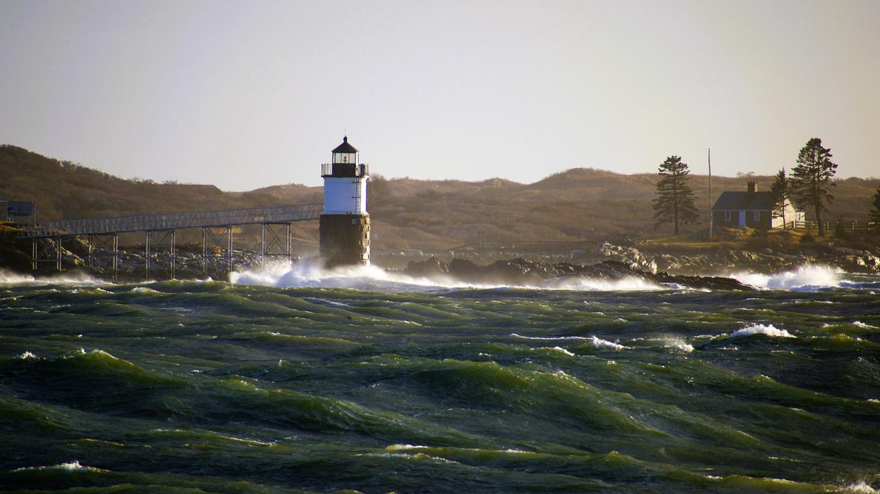
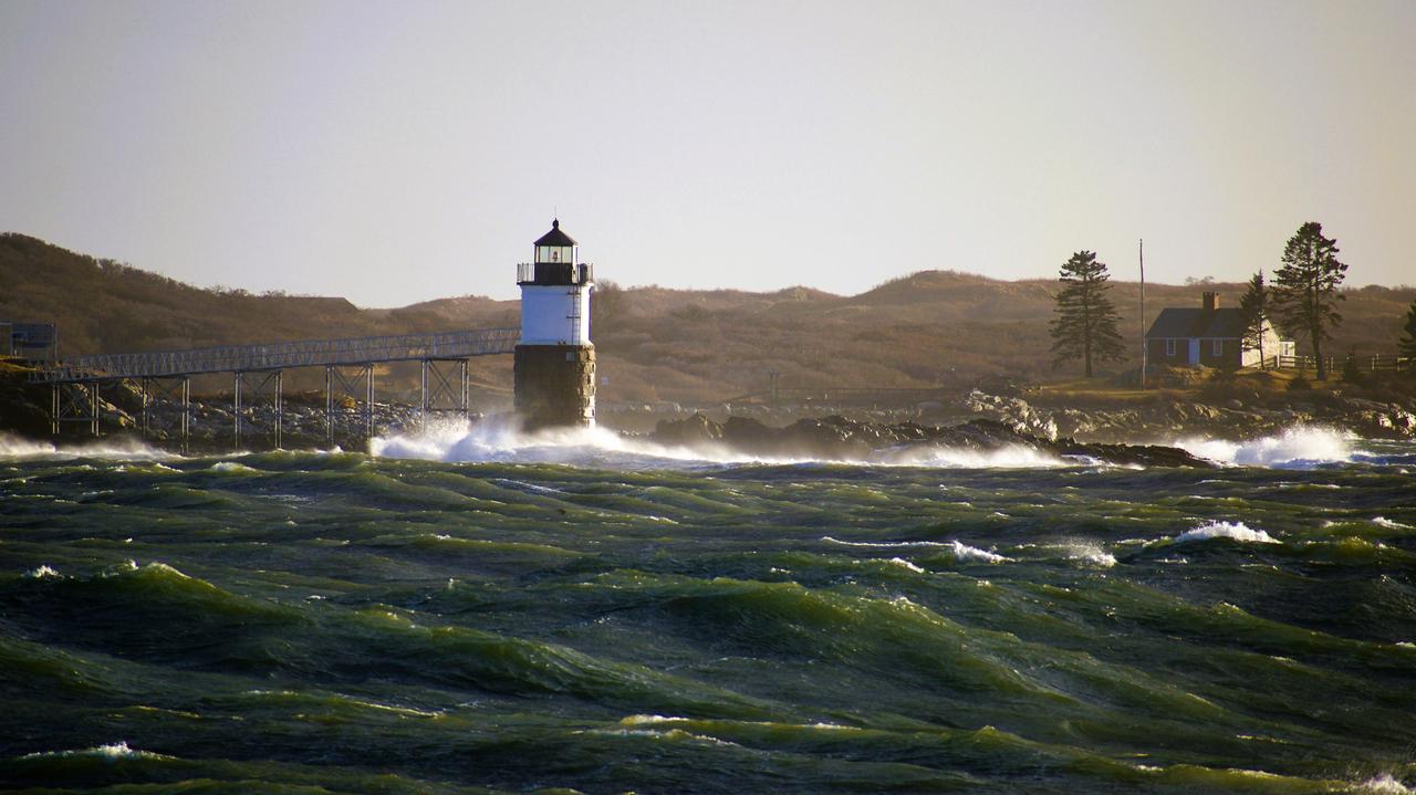
Maine's coast can flood when storm surges and waves arrive during a high astronomical tide. This happened twice in January 2024, only three days apart. The Portland tide gauge shows how quickly coastal water levels can cross flood thresholds.
On January 10, the water level passed the moderate flood level. On January 13, it reached about 14.6 feet and broke Portland's previous tide record, set in 1978. The December 18, 2023 storm did not reach flood level in Portland. Its main flooding impact was inland, along Maine's rivers.
The January 13 measurement is about 14.6 feet above mean lower low water. The National Weather Service says the Portland gauge record extends back to 1912. NOAA lists the station as established in 1910.
Storm | Portland water level | What it showed |
December 18, 2023 | Below flood level | The main flood threat was inland |
January 10, 2024 | Above moderate flood level | Coastal flooding affected the region |
January 13, 2024 | About 14.6 feet | Major flooding and a new record |
The tide number does not tell the whole story. The Maine Geological Survey found that wave heights on January 10 were generally higher than on January 13, especially along the midcoast and Downeast. Higher waves can increase damage even when the measured tide is lower.
The January 9-13 storms also led to a major federal disaster declaration on March 20, 2024. The declaration covered eight coastal counties: Cumberland, Hancock, Knox, Lincoln, Sagadahoc, Waldo, Washington, and York.
Before a coastal storm, check the National Weather Service coastal flood forecast for your nearest tide gauge. Compare the forecast's total water level with the local flood levels. Also check when high tide will occur.
Salt water and wind usually take the grid down before the tide peaks, so battery backup during a nor'easter matters on the waterfront as much as sandbags do.
Portland's gauge barely moved on December 18, 2023, yet that storm was the worst of the three for central Maine, and the reason sits upriver.


Inland: rain on snow, rising rivers, and ice jams
River flooding in Maine is often driven by rain. The River Flow Advisory Commission's March 2026 report calls rain the common factor in major Maine floods. Snowmelt can add to the flow, especially when rain falls on an existing snowpack.
The December 18, 2023 storm shows how these factors can combine.
The December 18, 2023 storm
The USGS reported 4 to 8 inches of rain over 48 hours during the storm. Winds reached 50 to 60 mph. Snowmelt added about 1.5 to 2.5 inches of water, with 3.5 to 4.5 inches in the mountains.
Flooding continued from December 18 through December 21.
Several rivers and tributaries reached record levels. Some exceeded the peaks recorded during the April 1987 flood. The USGS study included the Androscoggin, Kennebec, Crooked, East Branch Penobscot, and Piscataquis rivers.
The Kennebec River at Augusta provides a useful comparison:
Crest | Date |
34.1 ft | April 2, 1987 |
30.7 ft | March 20, 1936 |
26.92 ft | December 19, 2023 |
The current NWS flood categories at Augusta are:
Minor: 12 feet
Moderate: 17 feet
Major: 25 feet
The National Weather Service revised the moderate and major flood levels in December 2024. The change followed recent flooding and also affected gauges on the Androscoggin River at Rumford and Auburn.
The December 2023 storm had a federal disaster declaration covering December 17 through 21, 2023. The declaration was issued on January 30, 2024.
Ice jams and spring melt
Ice jams can create a different type of river flood. Chunks of river ice can collect at bends, bridges, and narrow channels. Water then builds behind the blockage and can rise quickly.
The River Flow Advisory Commission reviews snowpack, river ice, and flood risk each year. Its March 5, 2026 report rated ice jam risk above normal. It cited the most widespread and thickest river ice in at least a decade. The report rated open-water flood potential below normal.
That assessment was a seasonal snapshot, not a current forecast.
Northern Maine has also seen major flooding during snowmelt. During the April 28–May 1, 2008 flood, the St. John River reached 30.17 feet at Fort Kent, which was 5 feet above flood stage. Heavy rain fell while snow was melting.
A January warm spell can do the same thing on a smaller scale, and snowmelt flooding during an early thaw often catches basements before spring prep has started.
Tide levels and river crests both come with published forecasts, and knowing which Maine office and which utility to check saves time once the storm is underway.
Where to check Maine storm, river, and outage conditions
No article can replace a live forecast. Maine has two National Weather Service offices, along with two major electric utilities. Save the right pages before a storm, so you do not have to search for them during an outage.
What you need | Where to look |
Forecast and warnings, southern and central Maine | NWS Gray/Portland, weather.gov/gyx |
Forecast and warnings, northern and eastern Maine | NWS Caribou, weather.gov/car |
Coastal flood forecast by tide cycle | |
River levels and forecasts | NWS river page, water.noaa.gov/wfo/gyx, and USGS real-time streamflow for Maine |
Snowpack, river ice, and seasonal flood outlook | Maine River Flow Advisory Commission, maine.gov/mema/hazards/river-flow-advisory-commission |
State emergency information | Maine Emergency Management Agency, maine.gov/mema (its weather portal gathers both NWS offices) |
Your property's flood zone | Maine Flood Hazard Map and FEMA Flood Map Service Center (both linked from MEMA's flooding page) |
Road closures | New England 511 (Maine DOT, with New Hampshire and Vermont), newengland511.org |
Outage maps and reporting, by utility
Knowing your electric utility is just as important as knowing your weather office. Maine's major utilities provide outage maps and reporting options.
Utility | Outage map | How the company says to report |
Central Maine Power (CMP) | portal.cmpco.com/outages/map and outage list | Report online or in the CMP app; CMP's emergency contact page lists "800.696.1000 for outages or trouble" |
Versant Power (Bangor Hydro District and Maine Public District) | Versant's contact page, under "Power Outages or Trouble," lists local (207) 973-2000 or toll free 1-855-363-7211, plus an online outage form |
If a power line is down or there is an immediate danger, call 911 first. Do not approach or touch a downed line.
Some Maine communities use smaller consumer-owned utilities. If yours does, use the utility listed on your electric bill for outage information.
Long rural circuits can take days to rebuild after wind or ice, which is why battery setups for rural ice storms are sized for multi-day gaps instead of a few hours.
With the right pages bookmarked, what's left is the hands-on prep, and it differs depending on whether the water comes from the harbor or the river.


Getting a Maine home ready for both
Coastal and inland homes share many power-outage needs, but their flood risks differ. Start with the common steps, then prepare for the type of flooding that affects your address.
Before a storm:
Charge power stations, phones, and other essential devices. Keep backup power equipment in a dry location that will not be flooded. Do not operate it while standing in water or use equipment that is wet or has been flooded.
Fill water containers, especially if your home uses a private well.
Stock food that does not need cooking.
Keep a battery-powered or hand-crank radio available for NOAA Weather Radio.
Know which rooms, appliances, and systems need backup power.
If you live on the coast | If you live near a river or stream |
Look up high tide times and the NWS coastal flood forecast for your gauge | Watch the NWS river forecast for the nearest gauge; crests can come a day after the rain |
Move vehicles and gear above the forecast water line before the tide | Test the sump pump and clear the discharge line of ice |
Secure boats, traps, and anything on the wharf or shore | Move valuables and fuel containers out of the basement |
Expect road washouts on causeways and shore roads | Know a second route out if the river road floods; watch for ice jam warnings in late winter |
Know your flood risk before the storm. Maine Emergency Management Agency points residents to the Maine Flood Hazard Map and FEMA's Flood Map Service Center. FloodSmart.gov can also provide information about flood insurance.
Food safety matters during a long outage. FoodSafety.gov says a refrigerator can keep food safe for up to four hours without power. A full freezer can hold food for about 48 hours, or about 24 hours when half full, if the door stays closed. Discard perishable food that has been above 40°F for more than two hours.
After a flood, stay out of a flooded basement until the power is confirmed off. Photograph damage before cleanup when it is safe to do so. Cold makes every hour without electricity count for more, so preparing for a winter power outage belongs on the fall to-do list next to stacking wood.
Conclusion
A Maine nor'easter can threaten the coast at high tide and send floodwater into river valleys hours later. Other winter storms can also cause coastal and river flooding, as the December 2023 and January 2024 events showed. The Kennebec River reached 26.92 feet at Augusta in December, while Portland recorded its highest tide in January.
The best preparation starts with your address. Know whether your main flood risk comes from the coast, a river, or both. Bookmark your NWS office, nearest tide or river gauge, and utility outage map. Charge backup power and prepare before strong winds arrive.
For essential plug-in loads, the EcoFlow DELTA 3 Max provides portable backup power. For selected hardwired circuits, the EcoFlow DELTA Pro Ultra X with Smart Home Panel 3 can provide automatic backup after professional installation.
FAQs
What causes most flooding in Maine?
Heavy rain is the main factor behind major Maine floods. Snowmelt, ice jams, and coastal storm surge can add to the risk, depending on the location and storm.
When is nor'easter season in Maine?
Nor'easters can form at any time, but the National Weather Service says they occur most often and are the most violent from September through April.
What was the worst flood in Maine history?
By river level at Augusta, the April 1987 flood ranks first, with Kennebec reaching 34.1 feet. The March 1936 flood reached 30.7 feet at the same gauge.
What is the highest tide ever recorded in Portland, Maine?
Portland recorded about 14.6 feet above mean lower low water on January 13, 2024. This broke the previous 1978 record of 14.17 feet.
How do I report a power outage in Maine?
Use your utility's outage page or app. Central Maine Power and Versant Power serve most customers. Call 911 first for downed lines or immediate danger.
For press requests or interview opportunities, reach out to our media team
media.na@ecoflow.com