Hurricane Facts: How Storms Form, Power Up, and Get Named
The danger of hurricanes is well known to most people, but fewer understand what causes these storms to form, strengthen, and move. Hurricane names also have a history. This guide explains major hurricane facts, like how they form and are forecast, the process of development, what happens in the eye and eyewall, how much energy they produce, and the origin of their names.
How a Hurricane Actually Forms
Hurricanes don't just come out of nowhere. It happens through a series of atmospheric and oceanic events that have to align at the right time. Warm ocean water supplies energy and moisture, and the atmosphere needs to be organized enough and have relatively weak wind shear for the disturbance to strengthen. Here are the most interesting facts about hurricane formation.
Conditions needed for Hurricane formation
A hurricane needs ocean water at least 80 degrees Fahrenheit
Warm water is needed to keep feeding the storm with moisture and heat. As water warms up, it evaporates more easily, providing thunderstorms with the moisture and energy they need to organize and strengthen.
It also has to form over 300 miles from the equator:
One of the 3 interesting facts about hurricanes is that the storm has to form over 300 miles away from the equator. The Coriolis force is too weak to get a storm to rotate if you're any closer to the equator.
Low wind shear also matters
If the winds aloft are strong, they can tear a developing storm apart. Low wind shear allows for storm circulation and thunderstorms to remain vertically aligned.
A storm only earns the word hurricane once its sustained winds hit 74 mph. Below that, it's still just a tropical storm or a tropical depression, and the wind speed thresholds that separate the two end up mattering a lot in how seriously people take a coming storm.
Once a storm crosses that threshold, it develops a structure unlike almost anything else in nature, one that's worth understanding piece by piece.
Inside a Hurricane: Eye, Eyewall, and Rain Bands
A mature hurricane is more than just a giant mass of wind and rain. It has a precise internal structure, with different parts of the storm creating very different weather conditions. The center can be surprisingly calm, but the ring immediately surrounding it contains the most violent conditions of the storm. Understanding these features gives you five facts about hurricanes that are especially useful when looking at a storm forecast.
The eye and the eyewall
The eye is in the middle of the storm and is surprisingly calm. It's a clear pocket, 20 to 40 miles wide, where the wind and rain can die down for a few minutes. Air in the eye sinks, stopping much of the cloud cover and rain from forming.
The eyewall is the ring around the eye. It comprises powerful thunderstorms with the strongest winds and heaviest rains.
Rain bands and overall storm size
Beyond that, spiral rain bands extend outward, each band ranging from a few miles to more than 300 miles long. These bands may bring heavy rain and strong winds far from the center of the hurricane.
Hurricane-force winds can extend 25 to 150 miles from the center of a hurricane. However, the exact number depends on the size of the storm.
Meteorologists sort that intensity into five categories based on wind speed, and how the five-category wind scale actually gets assigned is what turns a raw wind speed number into the Category 1 through 5 rating people hear on the news.
All of that size and structure adds up to a genuinely staggering amount of raw power, which is worth putting into perspective.
Just How Powerful Is a Hurricane?
You can't really tell how powerful a hurricane is just from a forecast map. NOAA hurricane hunter aircraft can fly into the eyewall itself, where winds can be sustained at more than 150 mph. That force can also leave millions without electricity, and some outages can last days or even more than a week.
A good backup power source can make an extended outage a lot more tolerable. A portable power station can keep essentials running until utility power is restored. Hurricane preparedness becomes easy with the EcoFlow DELTA 3 Classic. It provides a mix of battery capacity, fast charging, and backup power to keep essentials running during outages.
Power aside, one of the more interesting hurricane facts is the name attached to each one, and where that actually comes from.
Where Do Hurricane Names Come From?
We cannot overlook the naming system when discussing fun facts about hurricanes. Hurricane names are designed to help meteorologists, emergency officials, media outlets, and the general public to distinguish one storm from another.
The National Hurricane Center has been using official name lists since 1953. The first lists used only women's names, a practice that changed in 1979.
There are six lists in constant rotation. The list used in 2026 is reused in 2032 unless a name on it is retired permanently.
If a storm was deadly enough, the World Meteorological Organization retires it completely. It then chooses a replacement at its annual meeting.
If a season happens to produce more than 21 named Atlantic storms, any extra will come from a separate WMO-approved supplemental list, instead of the Greek alphabet, which NOAA stopped using after 2020.
A handful of names, Katrina, Andrew, and Sandy among them, are permanently gone from the rotation, and the specific hurricanes whose names never got reused is a pretty direct way to see which storms did the most damage historically.
Speaking of damage, a look at the actual numbers behind the worst US hurricanes puts all of this in real perspective.
The Costliest and Deadliest US Hurricanes on Record
Tropical cyclones can have tremendous human and financial impacts. Hurricane damage is not determined by wind speed alone: storm surge, flooding, rain, infrastructure damage, power outages, and the area impacted all contribute to the final toll.
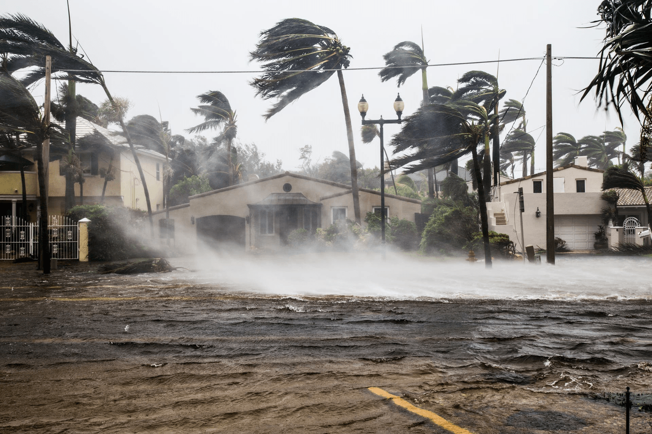
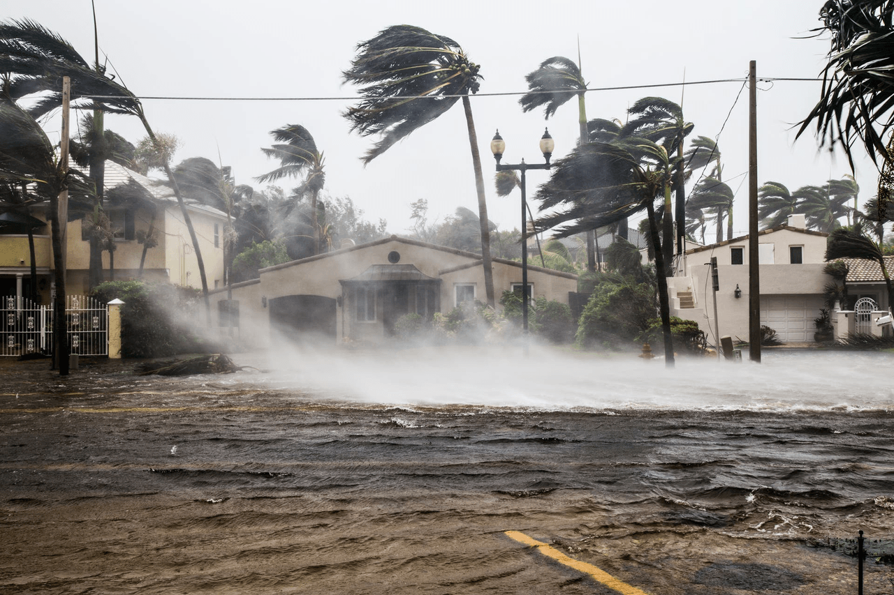
The scale of Hurricane damage
According to NOAA's own damage database, tropical cyclones have killed more Americans during weather disasters than any other type since 1980, with 7,211 deaths. The figure shows the long-term human toll from tropical cyclones.
Hurricane Helene alone caused an estimated $78.7 billion in damage in 2024. It was 2024's deadliest Atlantic hurricane and the deadliest since Maria in 2017.
Hurricane Milton added another $34.3 billion just weeks later that same year. However, the 2017 trio of Harvey, Irma, and Maria still tops the list with a combined $339.2 billion.
Hurricanes and other tropical cyclones have accounted for more than $1.5 trillion in total U.S. weather and climate disaster costs since 1980.
The figures illustrate the large contribution of tropical cyclones to long-term disaster losses.
Major US Hurricane damage
Storm | Year | Estimated Damage |
Harvey, Irma, Maria (combined) | 2017 | $339.2 billion |
Helene | 2024 | $78.7 billion |
Milton | 2024 | $34.3 billion |
Numbers like that are exactly why so much effort now goes into spotting a hurricane early and tracking it closely.
How Meteorologists Track a Hurricane Today
Today's hurricane forecasts use data from satellites, airplanes, radar, computer models, and the knowledge of forecasters.
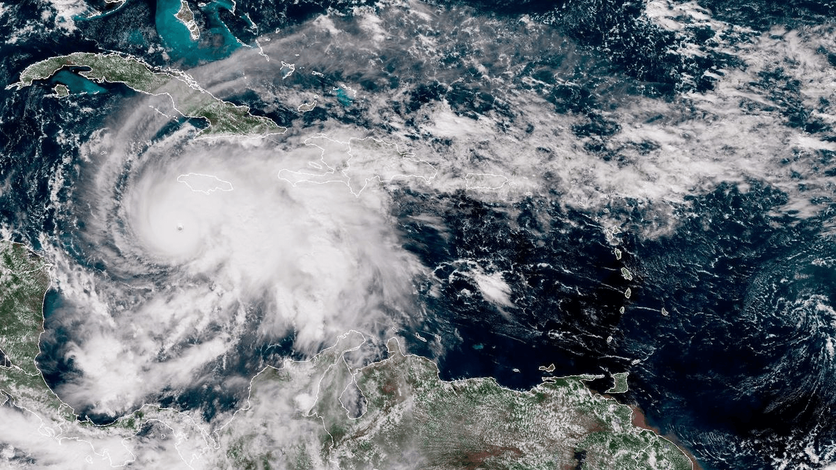

Polar-orbiting satellites pass over active storms twice a day. They look through the cloud tops with microwave instruments to see the storm. This provides useful information not always available from visible satellite images.
NOAA's own Gulfstream IV jet flies around the outer environment of a storm. It sends data from those flights to improve hurricane track forecasts by about 20%.
When there is a storm, the National Hurricane Center releases a new forecast every six hours. The forecast provides a five-day track, an intensity outlook, and storm surge maps. These updates help communities assess changing risks as new data becomes available.
Since no one computer model can accurately predict every storm, forecasters compare several models to each other and to their own judgment before deciding on an official track.
Faster, better satellite and radar data is also behind a broader shift in how forecasts get built day to day, and how artificial intelligence is starting to reshape weather prediction is changing how quickly those five-day outlooks can update.
Conclusion
Hurricanes are massive and powerful storms, and learning about how they form, intensify, are classified, and move can make following storm forecasts much easier. The storm's calm eye and violent eyewall, damaging winds, storm surge, and extensive power outages all factor into the story of why one storm can cause billions of dollars in damage. Along with learning Hurricane facts, understanding what the forecast means and being prepared for a potential outage ahead of time can make all the difference when severe weather hits. A good backup power station like the EcoFlow DELTA 3 Classic can help keep the basics going until the power is back on.
FAQs
How many hurricanes hit the US in an average year?
It changes from season to season. Some years have relatively few US impacts, while more active seasons can bring several hurricanes or tropical storms close to or onto the coast. Official forecasts are better once a particular storm is formed, but seasonal outlooks are good for giving you the big picture.
What's the difference between a tropical storm and a hurricane?
The major difference is sustained wind speed. A tropical depression has lower sustained winds, and a tropical storm has at least 39 mph. When sustained winds reach 74 mph, it is called a hurricane.
What was the deadliest hurricane in US history?
The data given shows that Hurricane Helene is the deadliest Atlantic hurricane since Maria in 2017. Historical rankings may vary depending on whether they refer to the continental United States, U.S. territories, Atlantic hurricanes, or a specific time period.
How do hurricanes get their names, and why do some get retired?
The names of hurricanes come from lists that are kept by the World Meteorological Organization. Six lists rotate on a six-year cycle. If a storm causes extreme loss of life or damage, the name is retired, and a new name will be assigned.
What's a simple way to keep essentials powered if a hurricane knocks out electricity?
Portable power stations can give you backup power for some essentials during a blackout. Depending on its capacity and output, it can help keep devices such as phones, routers, lights, and other small electronics running when grid power is unavailable.
For press requests or interview opportunities, reach out to our media team
media.na@ecoflow.com