What Tropical Storm Wind Speed Mean Before a Storm Arrives
- What Tropical Storm Wind Speed Means in Official Forecasts
- Why the Storm Category Does Not Equal Your Local Wind Risk
- Why the Forecast Cone Cannot Show the Full Wind Threat
- How to Read the Tropical Storm Wind Speed Probability Graphic
- How Arrival Time Graphics Set a Safer Preparation Deadline
- What to Finish Before Tropical-Storm-Force Winds Arrive
- Act Before the Wind Reaches Your Area
- FAQs
A tropical storm forecast can leave one basic question unanswered: how strong will the wind become where you live? Tropical storm wind speed begins at 39 mph, yet that threshold alone does not describe timing, duration, gusts, or local damage. Check the wind field, probabilities, arrival time, and local warnings before acting. Finish outdoor preparations before hazardous winds arrive locally.

What Tropical Storm Wind Speed Means in Official Forecasts
First, the official threshold provides a clear starting point. The National Hurricane Center defines a tropical storm as a tropical cyclone with maximum sustained surface winds from 34 to 63 knots. That equals 39 to 73 mph, or 63 to 118 km/h. These figures use the U.S. one-minute average for sustained wind.
At 64 knots, or 74 mph, a cyclone reaches hurricane strength. A tropical depression’s maximum sustained wind is 33 knots, or 38 mph, or less.
The key word is maximum. The stated intensity is the strongest sustained surface wind associated with the cyclone, not the wind expected at every location under the clouds. A town far from that part of the circulation may receive lower winds. Another location may still experience damaging gusts, squalls, flooding, or tornadoes outside the strongest sustained wind zone.
Gusts are brief increases above the sustained wind. They can place sudden loads on trees, roofs, signs, power lines, and unsecured objects. A forecast of 45 mph sustained wind can therefore include stronger gusts. Read the local forecast for both values when they are available.
Why the Storm Category Does Not Equal Your Local Wind Risk
Next, move from the cyclone’s headline intensity to the conditions near your address. The wind speed in a tropical storm varies across a broad, uneven circulation. Distance from the center matters, but it is only one factor.
Storm size determines how far tropical-storm-force winds extend from the center. A large cyclone can spread hazardous winds across a wide area even if its maximum sustained speed remains below hurricane strength. A compact cyclone may have a smaller wind field with sharp changes over short distances.
The wind field is often asymmetric. Wind can extend farther in one quadrant than another because of the storm’s structure, surrounding weather patterns, and forward motion. Track changes can shift the strongest winds toward or away from a community.
Local exposure also changes the outcome. Open coasts, elevated bridges, and exposed fields may receive stronger wind than sheltered blocks. Trees, buildings, terrain, saturated soil, construction quality, and previous damage affect impacts. The same measured wind speed can therefore create different problems from one neighborhood to the next.
Storm Size
Advisories commonly report how far 34-knot, 50-knot, and 64-knot winds extend from the center by quadrant. These wind radii offer more local value than the storm category alone. Compare your location with the forecast wind field and local warnings.
Path and Timing
A forecast track can change, and the storm may strengthen, weaken, expand, or reorganize before arrival. Each advisory updates the track, intensity, wind structure, and timing. Use the newest full advisory instead of relying on a screenshot saved the previous day.
Why the Forecast Cone Cannot Show the Full Wind Threat
At this stage, treat the cone as a track product. The National Hurricane Center states that the cone represents the probable path of the cyclone’s center. It does not outline the total storm, and it is not a boundary between safe and unsafe locations.
Tropical-storm-force winds can extend well beyond the white cone. Rainfall, storm surge, tornadoes, and rough surf may also affect places outside it. A location near the forecast centerline is not guaranteed to receive the highest wind, while a place outside the cone is not automatically clear of hazards.
How to Read the Tropical Storm Wind Speed Probability Graphic
Now use the wind speed probability graphic to evaluate local chances. This product estimates the probability that sustained winds at a specific point will reach or exceed selected thresholds during a stated forecast period.
The usual thresholds are 34 knots for tropical-storm-force wind, 50 knots for stronger tropical storm wind, and 64 knots for hurricane-force wind. The probabilities incorporate the official forecasts for track, intensity, and storm size, along with typical historical forecast errors.
Threshold
Choose the 34-knot graphic when your main question is whether tropical-storm-force winds may reach your location. A 50-knot map focuses on a more disruptive level within the tropical storm range. The 64-knot map covers hurricane-force sustained winds.
The threshold is a floor, not a predicted maximum. A 40% probability on the 34-knot map means a 40% chance of sustained winds reaching at least 34 knots during the listed period. It does not mean the forecast wind is 40% of 34 knots, and it does not promise a peak of exactly 34 knots.
Time Period
Cumulative probabilities show the chance that the threshold will occur at some point within a period such as 0–24, 0–48, or 0–120 hours. The percentage may rise as the period expands because there is more time for the event to occur.
Check the issue time and time zone before using the map. Then locate your area, select the correct threshold, and read the probability band. Compare updates across advisories, but do not assume one small percentage change proves a stable trend.
Probability
A lower probability does not mean zero risk. Forecast uncertainty, small track shifts, and changes in storm size can alter local wind exposure. Local officials may act at different probability levels based on evacuation time, vulnerable infrastructure, islands, bridges, or the needs of people who require assistance.
How Arrival Time Graphics Set a Safer Preparation Deadline
Timing becomes the next decision. The arrival time of tropical-storm-force winds graphic estimates when sustained 34-knot winds could begin. Once those winds arrive, outdoor preparation and some travel can become difficult or unsafe.
Earliest Reasonable Time
The earliest reasonable arrival graphic shows the time before which there is no more than a 10% chance of tropical-storm-force winds beginning. For people with a low tolerance for risk, preparations should ideally be complete before this time.
This is the more cautious deadline for shutters, outdoor furniture, boats, trash bins, generators, charging, and travel. It allows for an earlier arrival than the central forecast might suggest.
Most Likely Time
The most likely arrival graphic marks the time before or after which onset is equally likely. It is useful for describing the center of the timing range, but it leaves a greater chance that winds begin before preparations are finished.
Do not confuse arrival of tropical-storm-force wind with landfall. Hazardous outer winds may reach a location well before the cyclone’s center crosses the coast. Complete exposed work using the earlier reasonable arrival time and local emergency deadlines.
What to Finish Before Tropical-Storm-Force Winds Arrive
Preparation should follow the earliest practical deadline. Use the official arrival-time graphic and local instructions to decide when outdoor work stops.
Bring in patio furniture, umbrellas, toys, tools, planters, and trash containers.
Secure items that cannot be moved without creating unsafe last-minute work.
Charge phones, battery packs, radios, flashlights, fans, and medical devices. For extended outages where small pocket batteries are not enough, consider using a robust home backup power system.
Refill prescriptions, drinking water, shelf-stable food, and pet supplies.
Check refrigerator and freezer temperatures, then limit door opening during an outage.
Save local alerts, emergency contacts, insurance details, and offline maps.
Move vehicles away from weak trees and locations vulnerable to flooding.
Follow evacuation orders and never let power preparation delay departure.
Complete roof, tree, shutter, and ladder work while conditions remain calm. Do not climb ladders or handle storm shutters and large panels once gusts begin. If equipment requires fuel, ventilation, transfer equipment, or professional installation, resolve those needs well before the storm.
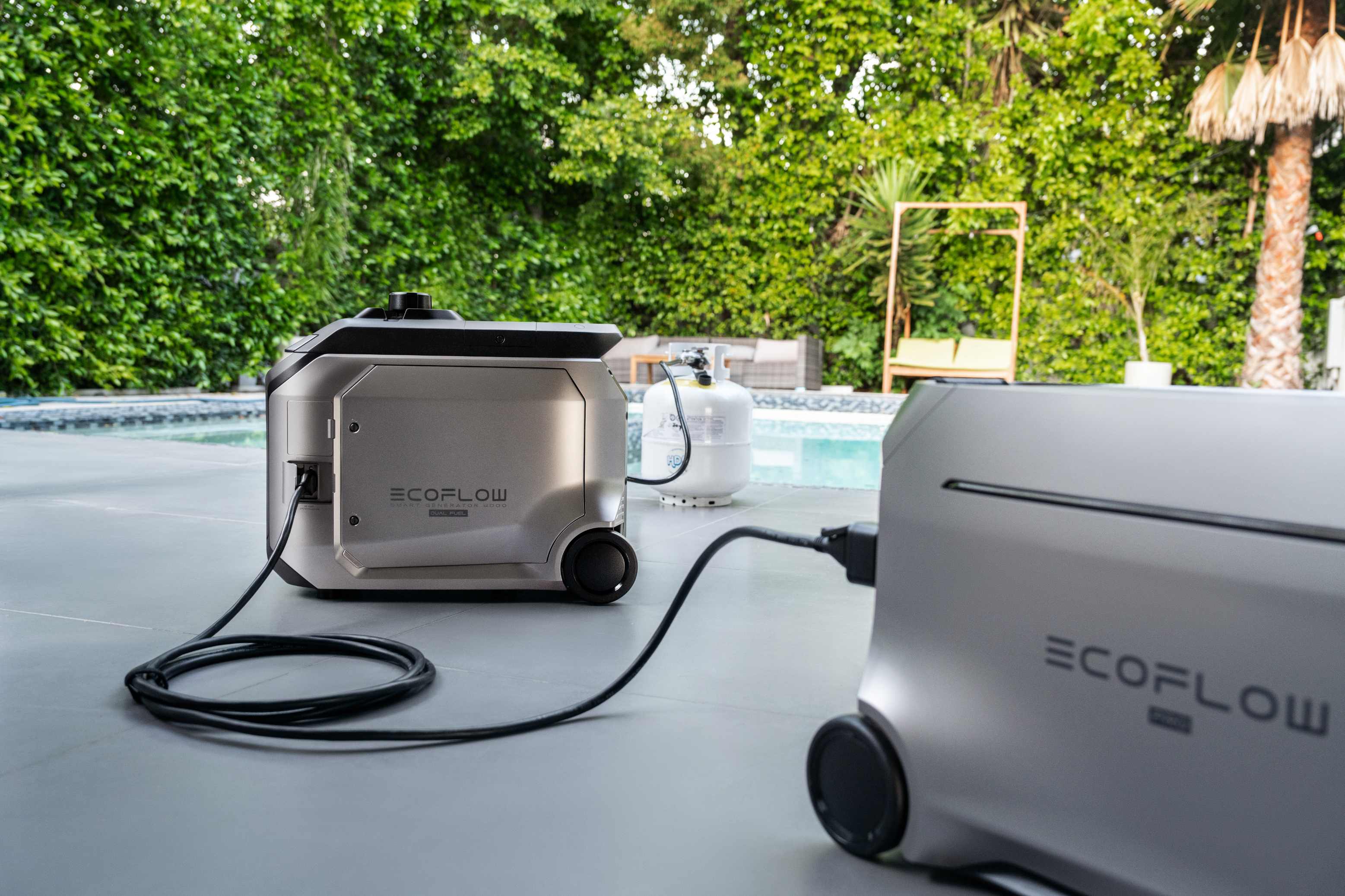
Once outdoor preparation is complete, the next consideration is maintaining essential household functions during an extended power outage. Managing food storage and climate control under load requires heavy-duty power delivery. Backup power can support communication, lighting, food storage, and limited comfort during an outage. The EcoFlow DELTA Pro 3 has a 4,096Wh capacity and 4,000W AC output, with both 120V and 240V capability. Those specifications can support selected household loads when connections, startup demand, and total consumption remain within the system’s limits.
Charge the unit before the earliest reasonable arrival time. Make a priority list for phones, a router or mobile hotspot, LED lights, fans, refrigeration, and necessary medical equipment. Calculate runtime from actual device consumption and allow for conversion losses and compressor startup demand. Runtime will vary with the connected load, appliance cycles, temperature, and conversion losses.
(*Note: Portable power stations are intended for standard household appliances and non-critical medical electronics (e.g., CPAP machines). It is not designed or certified for life-support systems or critical medical equipment. Always consult your medical provider and device manufacturer for backup power requirements.)
A portable power station does not make an unsafe home suitable for sheltering, and it cannot replace evacuation, utility repairs, or a properly designed whole-home system. Keep it dry and ventilated, follow its manual, and use approved home connections installed by a qualified professional where required.
Act Before the Wind Reaches Your Area
Tropical storm wind speed ranges from 39 to 73 mph, just below hurricane strength. Your local risk still depends on storm size, wind radii, track, gusts, timing, and exposure. Read the 34-knot probability and arrival-time graphics with local warnings. Secure outdoor items, charge essential equipment, and finish travel early. Check the latest advisory and act now without delay.
FAQs
Q1: Is 38 MPH Considered Tropical-Storm-Force Wind?
No, under the U.S. definition. Tropical-storm-force sustained wind begins at 34 knots, or 39 mph. A tropical cyclone with maximum sustained winds of 38 mph or less remains a tropical depression.
Q2: Can Tropical-Storm-Force Winds Reach Areas Outside the Forecast Cone?
Yes, quite often. The cone shows the probable track of the cyclone’s center, while the wind field can extend far outside it. Check wind radii, probability maps, watches, warnings, and local forecasts.
Q3: Does a 60% Wind Probability Mean Winds Will Reach 60 MPH?
No, never. It means there is a 60% chance of reaching or exceeding the selected threshold, such as 34 knots, during the stated period. It does not forecast a 60 mph peak.
Q4: Should Storm Preparations End by the Most Likely Wind Arrival Time?
Usually no, if earlier completion is possible. Use the earliest reasonable arrival time as the safer deadline for outdoor tasks and travel. Winds can begin before the most likely time shown.
Q5: Is a Tropical Storm Warning Issued Only After 39 MPH Winds Begin?
No, it is issued beforehand. A tropical storm warning means sustained winds of 39 to 73 mph are expected somewhere in the specified area, generally within 36 hours.
For press requests or interview opportunities, reach out to our media team
media.na@ecoflow.com