Straight-Line Winds vs Tornado: How to Tell Them Apart Before and After a Storm
- What Are Straight-Line Winds?
- Are Straight-Line Winds as Dangerous as a Tornado?
- How to Tell Straight-Line Winds and Tornadoes Apart by Damage Patterns
- How to Spot Straight-Line Winds and a Tornado on Radar
- Can Straight-Line Winds Turn Into a Tornado?
- How Straight-Line Winds and Tornadoes Both Knock Out Power
- Prepare for Straight-Line Winds and Tornadoes Now
- FAQs
Straight-line winds push air outward from a thunderstorm in a single direction. Tornadoes pull air inward with violent rotation. Both can top 100 mph, rip off roofs, and flatten trees. They can even produce the same freight-train roar. But they leave completely different evidence on the ground and look nothing alike on radar. According to research from the National Center for Atmospheric Research, straight-line wind events cause roughly $2 billion in US losses per year.

What Are Straight-Line Winds?
Straight-line winds are powerful, non-rotating wind gusts produced by thunderstorm downdrafts. They differ from tornadoes at the most basic level: the air does not spin.
How Downbursts Create Straight-Line Winds
Cold air inside a thunderstorm sinks rapidly, forming a downdraft. When that column of sinking air hits the ground, it spreads outward horizontally at high speed, producing a burst of straight-line wind that can reach 100 to 165 mph in extreme cases.
Meteorologists split these events into two categories based on size.
A microburst covers an area less than 2.5 miles across and can deliver concentrated, intense damage in seconds.
A macroburst stretches wider than 2.5 miles and can flatten trees and structures over a much larger zone.
The critical distinction: straight-line winds come from non-rotating thunderstorms. Tornadoes form inside rotating thunderstorms called supercells. That structural difference drives every other contrast between the two.
Derechos: The Most Extreme Straight-Line Wind Events
A derecho is a straight-line wind event on a massive scale. Under the updated 2025 NOAA criteria, a derecho must produce wind gusts of at least 58 mph along a damage path of at least 250 miles, lasting several hours within the same storm system. (Earlier definitions used a 240-mile threshold.)
The August 2020 Iowa derecho produced an estimated 140 mph near Cedar Rapids, tore across multiple states in a single day, and caused over $11 billion in damage. In Iowa alone, 550,000 homes lost power at the peak of the storm, and parts of Cedar Rapids went without electricity for over two weeks.
Are Straight-Line Winds as Dangerous as a Tornado?
Yes, and in certain situations, even more so. The danger depends on wind speed, affected area, and how long the event lasts.
Wind Speed Overlap Between Straight-Line Winds and Tornadoes
Feature | Straight-Line Winds | Tornado |
Wind speed range | 58 to 165 mph | 65 to 300+ mph (EF0 to EF5) |
Typical damage width | 5 to 100+ miles | 50 yards to 1 mile |
Duration at any point | Seconds to minutes | Seconds to minutes |
Rotation | None | Violent rotation |
Affected population | Large, widespread | Small, concentrated |
EF0 and EF1 tornadoes top out around 110 mph and cut a narrow path. A strong straight-line wind event can reach 100 mph across an area 50 to 100 miles wide, affecting far more people at once. Organized lines of severe thunderstorms can span entire counties with sustained damaging gusts, while a weak tornado may only impact a few city blocks.
Why "It's Only Straight-Line Wind" Is a Dangerous Myth
The National Weather Service calls this mindset a persistent and risky misconception. Severe Thunderstorm Warnings can carry straight-line wind gusts at least 80 mph and baseball-sized hail. Starting in 2021, NWS introduced a "Destructive" damage threat tag for Severe Thunderstorm Warnings. Storms with that tag automatically trigger a Wireless Emergency Alert on phones, the same type of alert tornado warnings use.
Straight-line winds can tear roofs from buildings, destroy mobile homes, and topple power lines across entire counties. Treating them as less threatening than a tornado leads people to skip shelter, and that costs lives.
How to Tell Straight-Line Winds and Tornadoes Apart by Damage Patterns
After a storm passes, debris direction, tree damage, and structural failure reveal what type of wind caused the destruction. The key is a simple two-word framework from the National Weather Service: IN and OUT.
Debris Direction: The IN vs OUT Rule
Tornado winds flow IN. Air spirals inward toward the center, scattering debris in multiple directions. Fallen trees cross over each other, and building materials land both downstream and upstream of the structure.
Straight-line winds flow OUT. Air pushes outward from the downdraft in a single direction. Downed trees line up parallel, all pointing the same way.
Damage Indicator | Straight-Line Winds | Tornado |
Tree fall direction | All one direction or fan-shaped | Random, crossing, multi-directional |
Building debris spread | Blown into adjacent fields in one line | Scattered in all directions around the structure |
Siding and soffit | Stripped and deposited downstream | Found both near the house and far away |
Metal beams | Bent in one direction | Twisted or wrapped around objects |
Ground-level damage | Grass and pavement intact | Bark stripped from trees, sod torn up, pavement peeled (in severe cases) |
The "Twisted Trees" Misconception
Twisted or spiraling tree breaks do not automatically confirm a tornado. The NWS explains that trees are not symmetrical. Branches and leaves on one side create greater wind resistance than the other.
In strong straight-line winds, that imbalance can cause the trunk to twist as it snaps, the same way a street sign warps and bends in high wind without any rotation in the air itself.
The reverse tends to be more reliable, though not absolute. In most documented cases, only tornado-strength rotation strips bark clean from a trunk, peels pavement off a road, or tears sod from the ground. Those signs strongly suggest a tornado passed through, but trained surveyors still cross-reference multiple indicators before making a final determination.
What NWS Damage Survey Teams Look For
After a potentially tornadic storm, the National Weather Service sends trained teams to map the debris field.
Surveys typically wrap up within a day or two and produce either an EF rating (tornado) or a straight-line wind speed estimate. But the boundary between the two is not always clean. In one Indiana case, an insurance engineer attributed the total destruction of a log home to a tornado, but the NWS found no rotational signature on radar and classified it as straight-line wind damage.
How to Spot Straight-Line Winds and a Tornado on Radar
Damage patterns tell the story after a storm. But you can identify the storm type in real time by checking free radar apps on your phone before or during a storm.
Bow Echo vs Hook Echo
On standard radar reflectivity, a straight-line wind event shows a bowing segment in the storm line, shaped like a drawn bow. That curve signals strong outflow pushing forward.
A tornado-producing supercell shows a hook echo, a curved appendage hanging off the storm's south or southeast side. That hook indicates rotating air wrapping rain and debris around the circulation.
Both shapes are visible on the NWS radar page and most free weather apps.
Radar Velocity Mode and What the Colors Show
Switching to velocity mode adds a second layer of confirmation.
Straight-line winds appear as a broad area of one color (bright green or bright red), showing air rushing in a single direction at high speed.
A tornado shows bright green directly next to bright red in a tight pair. That means air is moving toward the radar on one side and away on the other, confirming rotation in a very small area.
Recognizing these two patterns on your phone during a storm gives you the same real-time information professional meteorologists use to issue warnings.
Can Straight-Line Winds Turn Into a Tornado?
Not typically. The two come from fundamentally different storm structures, and that makes a direct transformation rare.
Straight-line winds originate in non-rotating thunderstorms. Tornadoes develop inside supercells with a rotating updraft. The atmospheric mechanics are different from the start.
A gray area does exist. Along the leading edge of a fast-moving line of thunderstorms, small and brief rotations called spin-ups can develop. These are not classic tornadoes, but they can produce tornado-like damage in a narrow path and may trigger a Tornado Warning.
How Straight-Line Winds and Tornadoes Both Knock Out Power
Both storm types destroy power infrastructure, and the outages that follow can last days or weeks. The cause differs, but the result for your household stays the same: no electricity, no timeline for restoration.
Why Large-Scale Outages Follow Both Storm Types
Straight-line winds snap power poles, drop trees onto transmission lines, and damage transformers across a wide area. Repair crews face an enormous backlog because the damage zone stretches for miles. After the 2020 Iowa derecho, the entire city of Cedar Rapids lost power. Some neighborhoods waited over two weeks for restoration, and cellular and internet service failed across multiple counties at the same time.
Tornadoes carve a narrower path, but everything inside that path can be obliterated. Entire sections of the grid need to be rebuilt from the ground up, and that also takes weeks.
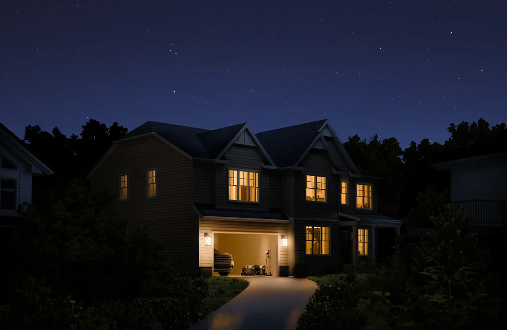
Portable Power as Immediate Storm Backup
Grid restoration after a major wind event follows the utility's timeline, not yours. A portable power station gives your household backup electricity the moment the grid drops.
The EcoFlow DELTA Pro Portable Power Station offers a professional-grade solution for home backup when the grid fails. With a massive 3600W AC output (7200W surge), it easily runs high-wattage appliances like refrigerators and medical devices that standard batteries can't touch. Its expandable 3.6–25kWh capacity and 10-year LFP battery life ensure you stay powered through the longest outages. Featuring a Plug & Play design and versatile recharging, including solar and EV stations, the DELTA Pro puts your family’s safety and comfort back in your hands while crews work to restore the grid.
Prepare for Straight-Line Winds and Tornadoes Now
Straight-line winds push air outward. Tornadoes pull air inward. That difference shows up in debris patterns on the ground and radar signatures during the storm. Both destroy power infrastructure and can leave your home dark for days or weeks.
This article is for informational purposes only and does not substitute official storm warnings or directives from the National Weather Service and local emergency management agencies. Always follow NWS alerts and your local emergency instructions during active weather events.
Learn to read the warning signs, take shelter for both storm types, and keep reliable backup power ready. Visit EcoFlow to find a portable power station that fits your household.
FAQs
Q1. Do Straight-Line Winds Have a Season in the US?
Yes. Straight-line winds peak from May through August, with the highest activity across the Great Plains and Midwest. Strong events can also occur in fall and winter when powerful cold fronts push through. This seasonal overlap with tornado season adds to the public confusion between the two storm types.
Q2. Should You Shelter the Same Way for Both Storm Types?
Yes. Go to the lowest level of your home, move to an interior room, and stay away from windows. The National Weather Service recommends identical shelter actions for straight-line winds and tornadoes. Mobile homes offer no safe shelter during either event, so relocate to a sturdy building if time allows.
Q3. Can Straight-Line Winds Knock Down a Brick House?
It depends on the wind speed and the structure's condition. Winds above 100 mph can cause structural failure in brick and masonry buildings, especially if mortar joints are weakened or the roof lifts first. Full collapse is rare but documented. Garage doors and large windows are typically the first failure points.
Q4. Why Do Insurance Companies Care About the Storm Type?
Not always. Most homeowner policies cover wind damage regardless of type. The classification matters mainly for NWS weather records and FEMA disaster declarations. Some policies carry different deductibles for named storm events versus general wind damage, so review your specific coverage each year.
Q5. How Quickly Can Straight-Line Winds Arrive After Thunder Starts?
Very quickly. A thunderstorm's outflow can reach your location within minutes of the first lightning flash. Damaging straight-line winds often arrive at the leading edge of a storm, so you may experience peak gusts before heavy rain starts. Check radar at the first sign of thunder and shelter immediately if a warning is issued.
For press requests or interview opportunities, reach out to our media team
media.na@ecoflow.com