First Snowfall Forecast 2025-2026: What You Should Know & Do
Winter is coming, and with it arrives the first snowfall of the season. Alaska has already seen snow arriving two weeks ahead of schedule, with Fairbanks recording accumulation on September 29. Colorado's high peaks also received early dustings in September. Whether you live in Alaska or Colorado, preparing for winter weather helps protect your home and family.
When to Expect the First Snowfall in Your Region
The timing of winter's first snowfall depends heavily on where you live in the United States.
Northern States See Snow First
Alaska typically experiences its first snowfall by early to mid-October, though this year snow arrived earlier than normal in late September. Anchorage typically sees its first freeze around September 24, while Fairbanks normally gets its first freeze in early September. Interior regions like Fairbanks often see measurable snow by mid-October. Coastal areas may wait until November, though temperatures drop much earlier.
The northern Rockies follow close behind. Montana and Wyoming residents should watch for snow by late September or early October. Idaho's higher elevations also see early season flurries during this period.
Mountain Regions and High Elevation Areas
Colorado first snowfall typically arrives in the mountains by early September, with Pikes Peak receiving snow on September 5, 2025. Several Colorado ski resorts including Arapahoe Basin, Loveland, Aspen Snowmass, and Telluride saw their first snowfall around September 14, 2025. Summit County and other high-altitude areas often record measurable accumulation before the calendar flips to autumn. Denver and the Front Range usually wait until October for their first flakes, with the average first measurable snow date being October 18.
The Cascades and Sierra Nevada ranges also see early snow. Washington and Oregon mountains can accumulate snow by late September. California's high country follows a similar pattern, though lower elevations stay dry much longer.
When Does Snow Reach the Lower 48?
The Great Lakes region typically sees first snowfall between late October and mid-November. Buffalo, Cleveland, and other lake-effect zones may experience earlier accumulation due to moisture from the lakes.
The Midwest and Plains states generally receive their first snow in November. However, cold fronts can bring surprise early season storms. South Dakota, Nebraska, and Kansas have recorded October snowfalls in previous years.
The Northeast waits slightly longer. Boston, New York, and Philadelphia typically see first flurries in late November or December. However, nor'easters can occasionally arrive earlier than expected.
Average Date of the First Fall Snowfall by Region
Historical weather data reveals consistent patterns that help you anticipate when winter will arrive in your area.
Alaska:
The earliest first snowfall dates occur in the Arctic region, with locations in the Interior and farther north having earlier dates than coastal and southern areas
Fairbanks typically experiences first freeze in early September
Anchorage typically sees its first freeze around September 24
First snowfall for Anchorage usually arrives in October
Mountain West:
High elevations in Montana, Wyoming, and Colorado can see snow as early as September
Denver's average first measurable snowfall date is October 18
Salt Lake City typically sees first snow in mid-October
Northern Plains:
Billings, Montana: Early to mid-October
Bismarck, North Dakota: Mid to late October
Minneapolis, Minnesota: Early November
Great Lakes:
Duluth, Minnesota: Late October
Buffalo, New York: Mid-November
Chicago, Illinois: Mid to late November
Northeast:
Burlington, Vermont: Early to mid-November
Boston and New York typically see first snow in November or later
Philadelphia: Late November to early December
These dates represent averages. Actual snowfall timing varies year to year based on weather patterns. La Niña and El Niño conditions can shift these dates by several weeks.
2025-2026 Snowfall Forecast Updates
Current weather patterns and early season snowfall provide clues about what this winter season will bring.
Alaska Snowfall Warning Issued Early
Alaska snowfall warning alerts appeared in early October 2025, with the National Weather Service issuing a Winter Weather Advisory for the Fairbanks area predicting up to 9 inches of snow accumulation. Fairbanks received its first snowfall on September 29, about two weeks earlier than the typical October 9 date.
October precipitation in Alaska was way above normal, ranking as the fourth highest since 1950. Meteorologists predict this early start may indicate a more active winter season ahead. Residents should prepare for potentially higher than normal accumulation throughout the winter months.
Colorado Braces for Active Season
Colorado first snowfall arrived right on schedule in the high country. Loveland, Arapahoe Basin, Aspen Snowmass, Silverton Mountain and Telluride all recorded snowfall around mid-September 2025. The Front Range saw unusually early moisture, with trace amounts recorded in late September.
Long-term forecasts show the possibility of near to above-average snowfall for Colorado's central mountains in Summit County and the Vail area this winter. The state's snowpack levels matter greatly for summer water supplies. Early season storms provide an encouraging start for ski resorts and water managers alike.
Lower 48 Predictions
The first snowfall forecast for the 2025-2026 winter season reflects the influence of a developing weak La Niña pattern, which typically sends colder weather to the northern United States. The snowfall forecast for the rest of the continental United States suggests near-normal timing for most regions. The Pacific Northwest may see slightly above-average precipitation. The Great Lakes region should expect typical lake-effect patterns.
However, atmospheric river events could bring heavy mountain snow to California and Nevada. The Midwest may experience several Alberta Clippers, delivering light but frequent snowfall. The Northeast faces uncertainty depending on ocean temperatures and jet stream positioning.
Does Heavy Snowfall Mean More Power Outages?
Winter weather poses serious risks to electrical infrastructure that can leave thousands without power for days.
Why Snow Causes Power Problems
Heavy snow accumulation can weigh down tree branches, causing them to sag or break, and when branches fall on power lines, they can bring down the lines themselves. Ice buildup of a quarter inch or more on trees and branches can cause them to fall on power lines and create power outages, while higher accumulations of a half inch or more can cause power lines to sag or even fall.
Just an inch of ice can add considerable weight to branches, making them more likely to snap. Wind combined with snow or ice compounds the problem, creating widespread damage.
Extreme cold causes power lines to become stiffer, and cold temperatures can cause equipment to malfunction or fail. The strain on electrical systems increases as people turn up their thermostats, overwhelming the grid during peak demand periods.
Regional Vulnerability Varies
Mountain communities face particular challenges. Remote locations make repairs difficult during active storms. Limited road access delays utility crews reaching damaged infrastructure.
Coastal regions experience different problems. Nor'easters and ocean-effect snow can dump heavy amounts quickly. Salt air already corrodes electrical equipment, making it more vulnerable during storms.
Rural areas with above-ground power lines face extended outages. Tree-lined roads create natural hazards during heavy snow. Urban areas with underground utilities typically recover faster.
Preparing for Winter Power Loss
Smart preparation reduces the impact of weather-related outages. Every household should maintain emergency supplies including flashlights, batteries, and non-perishable food. Keeping cell phones charged provides communication during outages.
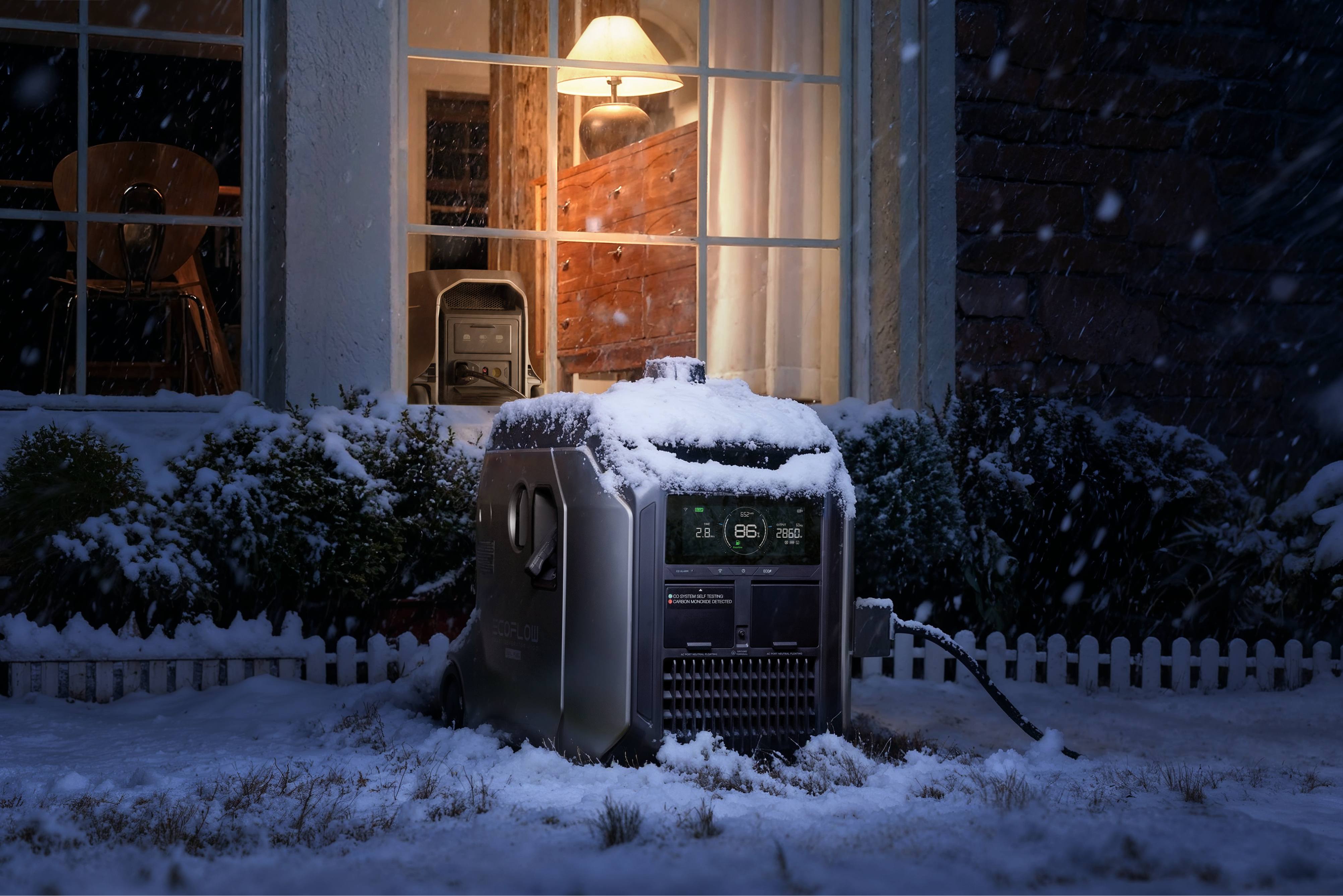
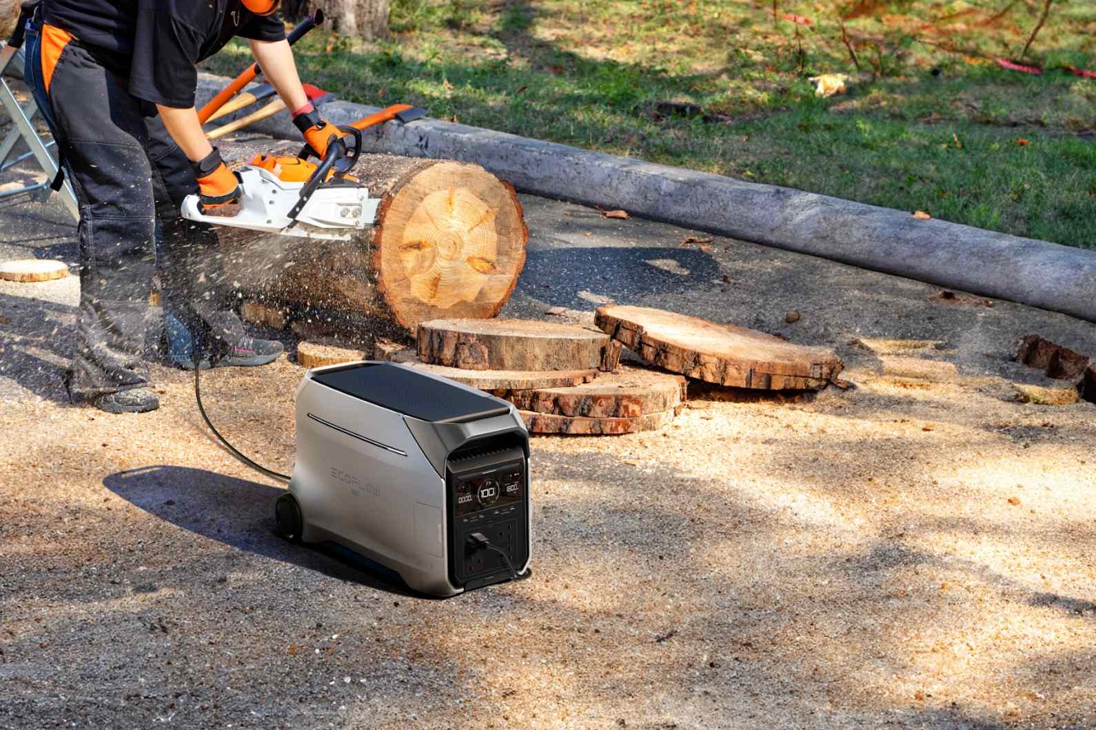
Backup power solutions offer security during extended outages. The EcoFlow DELTA Pro 3 Portable Power Station delivers robust backup power to keep your essential appliances running during winter outages. These units power essential devices including medical equipment, communication devices, and small appliances. Solar charging options extend runtime during multi-day outages.
Getting Ready for Winter Weather
Taking proactive steps now will help you stay safe and comfortable when the first snowflakes fall.
Home Preparation Steps
Inspect your roof for damage before snow arrives. Clear gutters and downspouts to prevent ice dams. Trim tree branches near power lines or structures.
Stock up on ice melt and snow removal equipment. Check that snow blowers or shovels are in good condition. Consider hiring a snow removal service if mobility is limited.
Vehicle Winter Readiness
Switch to winter tires in regions with heavy snowfall. Keep emergency supplies in your vehicle including blankets, water, and snacks. Maintain at least half a tank of gas during winter months.
Check that windshield wipers and defrosters work properly. Keep windshield washer fluid topped off with winter formula. Test your battery, as cold weather reduces its effectiveness.
Emergency Supply Checklist
Your storm preparedness kit should include bottled water, non-perishable food, blankets, warm clothing, first aid kit and medicine, flashlight, radio, extra batteries and toiletries. Water storage becomes critical during power outages when pumps fail. Store one gallon per person per day for at least three days.
Stock prescription medications and first aid supplies. Keep cash on hand since electronic payment systems fail during outages. Have a battery-powered or hand-crank radio for emergency updates.
Prepare Now Before Winter Arrives
Coming off the first snow forecast of the 2025-2026 winter, early snowfall in Alaskan and Colorado regions is a precursor to a ‘snow-rich’ winter. Although a ‘weak La Nina’ is prevailing, this will provide a relatively colder winter for the United States. Power disruptions will pose a severe threat to snow-covered regions. You may begin preparing for winter this year with a home assessment, preparation of emergency supplies, as well as consideration of portable EcoFlow power stations, if you still do not have any such equipment.
Frequently Asked Questions
Q1: When Will the First Snow Fall in My Area in 2025-2026?
Timing varies depending on your location. September 2025 has already seen snow in places such as Alaska, as well as in some parts of Colorado. October will see snow in the northern Rockies/Cascades, with the Denver area seeing its first snow on October 18. Great Lakes/Midwest will see its first snow in November, with Northeast getting its first snow in November or December.
Q2: How Accurate Are Long-Range Snowfall Forecasts?
Long-range predictions give broad tendencies, not specifics. Forecasters can pick out tendencies weeks ahead, but specifics as regards time and quantities come clearer with predictions some 7-10 days ahead. It is always necessary to monitor your winter weather predictions.
Q3: What Should I Do When a Snowfall Warning Is Issued?
Stock up on supplies that you may need. Do not travel if it is not absolutely necessary. Charge your electronic devices. Bring your animals inside. Protect your outdoor plants if there will be a drastic change in temperature.
Q4: How Much Snow Causes Power Outages?
Ice accumulation of a quarter of an inch or more on trees and branches may result in power outages, as well as sags or downed power lines if the ice accumulation is a half of an inch or more. Snowfall may weigh down tree limbs, causing them to come into contact with the power lines. Winds, combined with any ice or snow, greatly increase the odds of power outages.
Q5: Are Portable Power Stations Effective During Winter Outages?
Indeed, portable power stations offer a guaranteed backup system that doesn’t involve fuel or exhaust. An EcoFlow portable power station will allow you to use essential household appliances, charge your devices, as well as your healthcare equipment. Solar solutions can be used even in winter, although their efficiency will be reduced.
For press requests or interview opportunities, reach out to our media team
media.na@ecoflow.com