Excessive Rainfall Outlook: How to Read Flash Flood Risk Before a Summer Trip
An excessive rainfall outlook helps you spot areas where heavy rain could trigger flash flooding before a summer trip. Check it before a road trip, camping weekend, mountain drive, or park visit, especially if your route crosses creeks, low roads, canyons, or storm-prone areas.
What Is the WPC Excessive Rainfall Outlook?
The WPC excessive rainfall outlook is a map that shows where heavy rain may lead to flash flooding. It focuses on the probability that rainfall will exceed flash flood guidance within about 25 miles of a point.
Flash flood guidance refers to the amount of rain that could cause rivers, streams, or drainage areas to reach flood conditions within a short period. The threshold changes with soil moisture, terrain, recent rain, and drainage. A dry area may handle more rain than a soaked one. A steep mountain valley may react faster than flat open land.
For travel, the excessive rainfall outlook gives you an early warning sign before you lock in a route. Your destination may look fine on a basic weather app, but a campground road, trailhead, mountain pass, or rural crossing along the way could sit inside a risk zone.
Use the map to decide if you need to leave earlier, avoid a low road, switch campsites, or keep a backup route ready.
How Do Excessive Rainfall Outlook Risk Levels Work?
Excessive rainfall outlook risk levels show how likely heavy rain is to exceed local flash flood guidance near a point. Higher categories mean stronger action may be needed, especially if your route crosses flood-prone roads, steep terrain, or remote campground access roads.
Risk Level | Probability Near a Point | What It Means for Your Trip |
|---|---|---|
Marginal | At least 5% | Watch creeks, low roads, dirt access roads, and poor drainage areas |
Slight | At least 15% | Recheck plans and avoid flood-prone campsites or crossings |
Moderate | At least 40% | Consider a route change, delay, or safer destination |
High | At least 70% | Avoid travel through the risk zone unless local updates show safe conditions |
Marginal risk still matters on long summer routes because flash flooding often affects small areas. A lower percentage near one point can still cover a road, campground, trailhead, or creek crossing on your trip.
Slight risk deserves closer attention if storms repeat over the same area. Moderate and High risks should push you to compare alternate roads, safer timing, and local alerts before leaving. The outlook can also change as storm timing becomes clearer, so check again close to departure.
What Does the WPC Rainfall Outlook Mean for Summer Trips?
A WPC rainfall outlook shows where heavy rain could affect travel, camping, hiking, and riding home. Use it to spot risky hours, route segments, and low-lying stops before plans become harder to change.
Road trips: Heavy rain can reduce visibility, flood underpasses, close rural roads, and add long detours.
Camping: Creeks, dry washes, and low campground loops can rise after storms upstream.
Mountain roads: Steep slopes and narrow valleys can push runoff onto roads, trailheads, and parking areas.
RV weekends: Heavy vehicles need firm ground and a clear exit, especially at grass or gravel sites.
Park visits: Trail closures, bridge washouts, and shuttle delays can affect a day trip even when lodging stays dry.
Summer storms often build later in the day, near the same time many people reach campgrounds, finish hikes, or drive home from lakes and rivers. If your route crosses a risk area, avoid low roads after dark, camp on higher ground, stay away from fast water, and leave extra time for changes.
How Should You Use a Rainfall Outlook in Your Pre-Trip Checklist?
Use a rainfall outlook as part of your normal summer trip prep. Weather risk, route access, communication, food storage, and backup power all affect how well you handle delays.
Save offline maps for your route and back up roads.
Share your route, campsite, and return time with someone at home.
Charge phones, headlamps, radios, GPS units, and camera batteries.
Pack waterproof bags for electronics and paper maps.
Keep drinking water and ready-to-eat food within reach.
Put lights where you can grab them from the front seats or sleeping area.
Bring portable power if your trip depends on phones, a car fridge, lights, or small emergency devices.
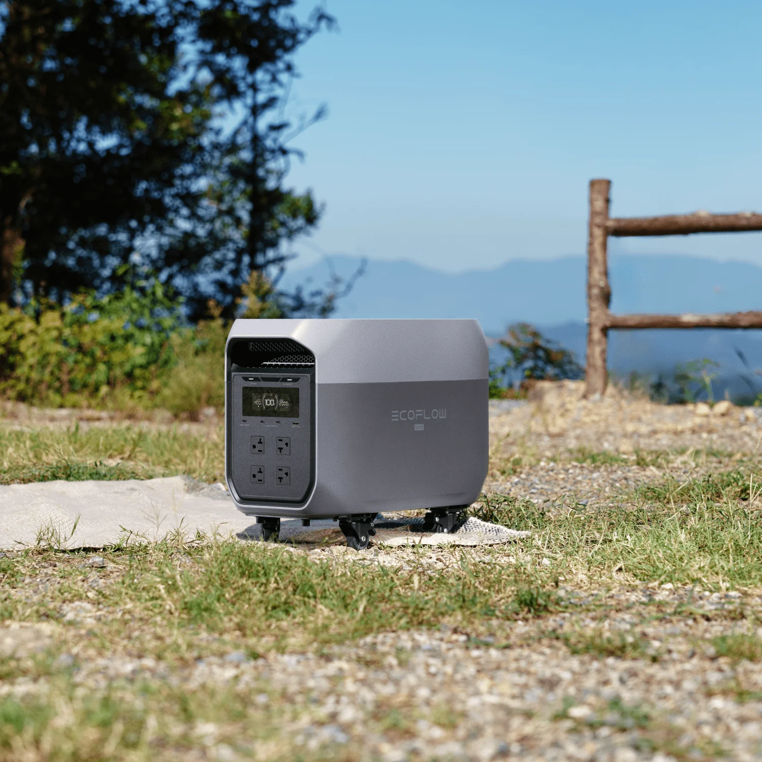
For longer road trips, RV weekends, or campsites without easy outlets, a portable power station can keep key devices running during delays. The EcoFlow DELTA 3 Max + 400W Solar Panel fits longer summer travel plans with 2048Wh capacity and 2400W output, while the 400W Portable Solar Panel can add solar input when sunlight and setup space are available.
Backup power helps with phones, lights, coolers, and small devices if a route changes or a drive takes longer than planned. It does not replace safe routing, local alerts, or the decision to avoid flooded roads.
Check the Excessive Rainfall Outlook Before You Hit the Road
Check the excessive rainfall outlook before any summer trip that crosses storm-prone roads, mountains, creeks, or campgrounds. Look at the full route, then compare local alerts, radar, road closures, and park updates before leaving. If water covers a road, turn around and take another route. A flexible plan is safer than pushing through bad conditions.
FAQs
Q1: Can a Flash Flood Happen Away From the Storm?
Yes. A flash flood can happen downstream from heavy rain, especially near canyons, washes, creeks, and steep terrain. Water can arrive after rain falls miles away. Clear skies overhead do not mean a drainage area is safe. Move to higher ground if water rises, turns muddy, carries debris, or gets louder.
Q2: How Far From Water Should a Campsite Be During Storm Risk?
Do not judge safety by distance alone. A safer campsite sits on higher ground, outside dry washes, creek bends, and visible drainage paths. Look for water stains, flattened grass, debris lines, or loose gravel that suggests past runoff. If storms are possible overnight, choose an official site with clear high-ground access.
Q3: Can GPS Routes Be Unsafe During Flooding?
Yes. GPS can send you toward a closed road, a low crossing, or a flooded underpass. App updates may lag during fast-moving storms. Follow road agency updates, park alerts, signs, and barricades over app shortcuts. If a road looks flooded, turn around even if the app still shows the route as open.
Q4: What Size Portable Power Station Makes Sense for a Summer Road Trip?
It depends on what you need to run and for how long. Phones, lights, and small cameras use modest power. A car fridge, fan, laptop, or cooking device needs much more. For longer weekends, RV stops, or remote campsites, a larger-capacity unit gives you more room for delays and changing plans.
Q5: Are Urban Areas Safe From Flash Floods?
No. City streets can flood quickly when heavy rain overwhelms drains, underpasses, parking lots, and low intersections. Watch for water pooling near curbs, garage entrances, and blocked storm drains. Avoid underpasses during heavy rain, and move to higher ground if water starts spreading across lanes or sidewalks.
For press requests or interview opportunities, reach out to our media team
media.na@ecoflow.com