What Is the Jet Stream: Weather Tracking and Emergency Preparedness
Imagine an invisible highway that the winds race along, faster than planes. This river of air decides whether your city freezes, fries, or experiences enough weather to leave your lights out for days. Researchers refer to it as the jet stream, which influences the accuracy of your weekly forecast. This river of air goes off kilter, and your lights go out, the roads flood, and the temp varies like crazy. Knowing how and why the winds fluctuate means you detect warning signals before the bad weather arrives.
What Is a Jet Stream and How Does It Form
Jet streams are fast-moving bodies of air racing through the high atmosphere at an altitude of 5-9 miles. Jet streams are known to run as fast as 275 mph during the winter months, and they are invisible pathways that guide various weather patterns across the continents.
These strong winds are created as a result of the temperature clash. As the freezing polar winds interact with the warm tropical winds, the difference in the pressure levels creates strong currents. These currents are then deflected towards the east by the Coriolis effect.
Two Main Types Exist
Polar jet stream: It is an airflow located between 30° and 60° latitude that separates the cold polar airflow from the warm airflow, increasing during winter as the difference in temperatures becomes larger.
Subtropical jet stream: Found near 30° latitude, this weaker stream flows along the border between tropical and mid-latitude air masses.
Global vs Local Wind Patterns
Therefore, would the jet stream be considered a global wind or a local wind? This definitely qualifies as a global wind. Unlike some local winds, jet streams surround the whole world and can cause various effects on the climates of various continents. These winds tend to shift as the seasons change, drifting towards the north during summer and moving south during winter.
The polar jet stream matters most for North American and European weather because it acts as a dividing line. When it flows steadily west to east, weather systems move predictably. But when it develops large waves, weather becomes more extreme and unpredictable.
Tracking the Jet Stream Through Maps and Forecasts
Modern meteorology relies heavily on jet stream analysis to predict weather days or even weeks ahead. Understanding how to read these tools helps you anticipate everything from flight turbulence to incoming storms.
Reading Jet Stream Maps
The jet stream today can be visualized through specialized maps that show wind speed and direction at high altitudes. NOAA provides real-time jet stream maps displaying current positions and intensities across the globe. These maps use color coding, typically showing faster winds in red or purple and slower winds in blue or green.
A typical jet stream map reveals several key features:
Wind speed contours marking the jet stream core
The stream's latitude position (how far north or south it sits)
Wave patterns or "Rossby waves" that indicate meandering flow
Multiple jet stream branches that sometimes split or merge
Using Jet Stream Forecasts
Jet stream forecasts extend these observations into the future, predicting how the stream will shift over coming days. Meteorologists analyze forecast models to determine whether the jet will remain stable or develop significant waves. A forecast showing deep southward dips (called troughs) often signals cold air outbreaks for regions beneath those dips, while northward bulges (called ridges) typically bring warmer, calmer weather.
Weather services update these forecasts multiple times daily as new data becomes available from weather balloons, satellites, and aircraft. For anyone planning outdoor activities or monitoring potential weather hazards, checking the jet stream forecast provides valuable advance warning that surface weather maps alone cannot offer.
How Jet Streams Cause Extreme Weather and Power Disruptions
The jet stream's behavior directly translates to the weather you experience on the ground, and when it behaves unusually, the results can be severe.
Extreme Weather Events Linked to Jet Streams
When the polar jet stream develops large, slow-moving waves, it can trap weather patterns in place for extended periods. A southward dip can funnel Arctic air deep into mid-latitudes, triggering polar vortex events that bring dangerous cold snaps. The 2021 Texas Freeze occurred when such a pattern locked in place, sending temperatures plummeting to levels the region's infrastructure was not designed to handle.
These extreme weather events frequently include:
Blizzards and ice storms: When cold air meets moisture, the jet stream's position determines whether precipitation falls as rain, freezing rain, or heavy snow
Damaging wind events: The jet stream can transfer its high-altitude energy downward during certain atmospheric conditions, creating destructive surface winds
Prolonged cold waves: Stalled jet stream patterns keep frigid air locked over regions for weeks rather than days
Power Outages and Emergency Preparedness
When jet stream patterns trap extreme weather in place, electrical blackouts often become the most urgent household concern. Ice accumulation snaps power lines, heavy snow collapses utility poles, and extreme cold triggers controlled outages when demand overwhelms supply capacity. The 2021 Texas crisis left over 4.5 million homes without power, some for multiple days during freezing temperatures.
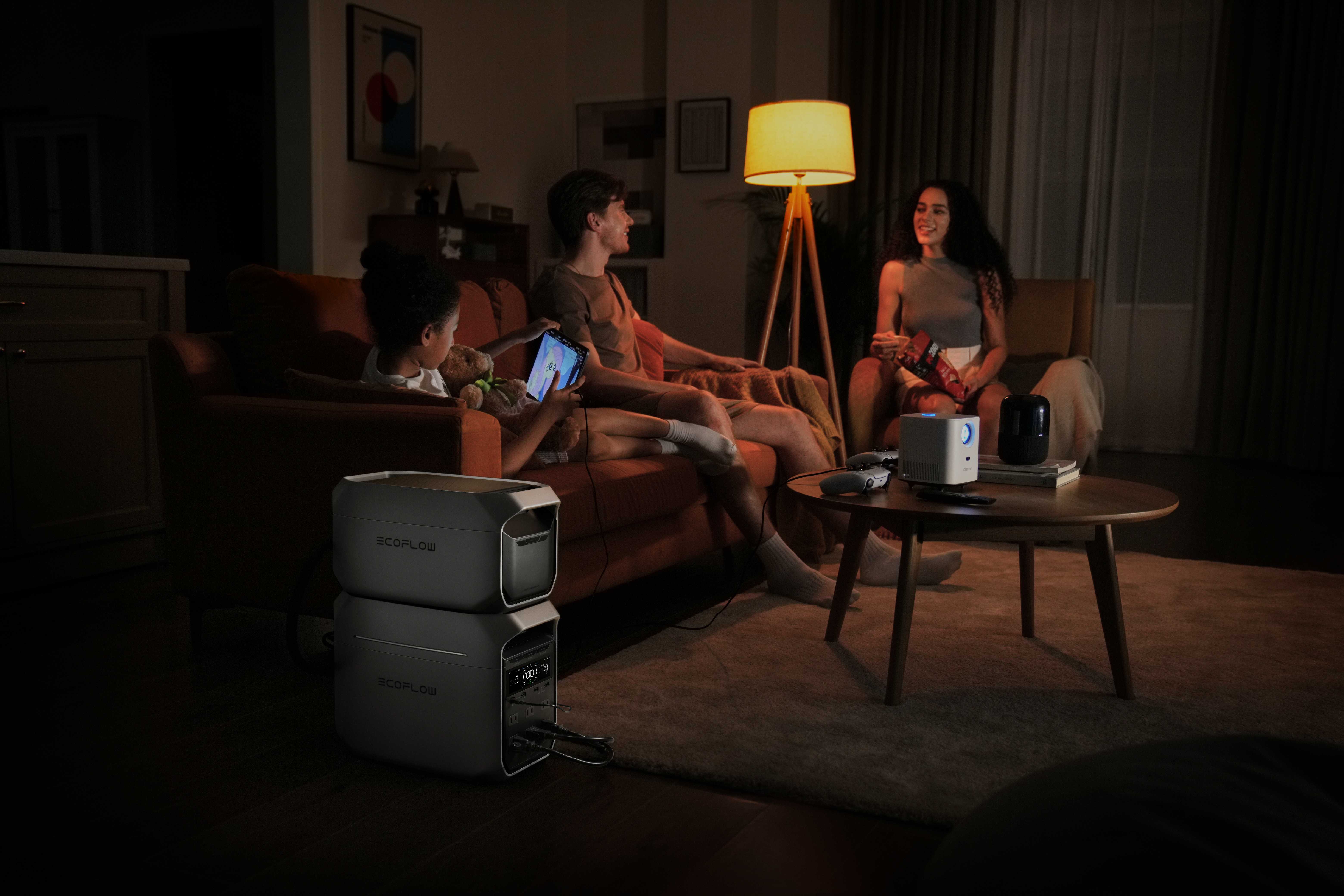
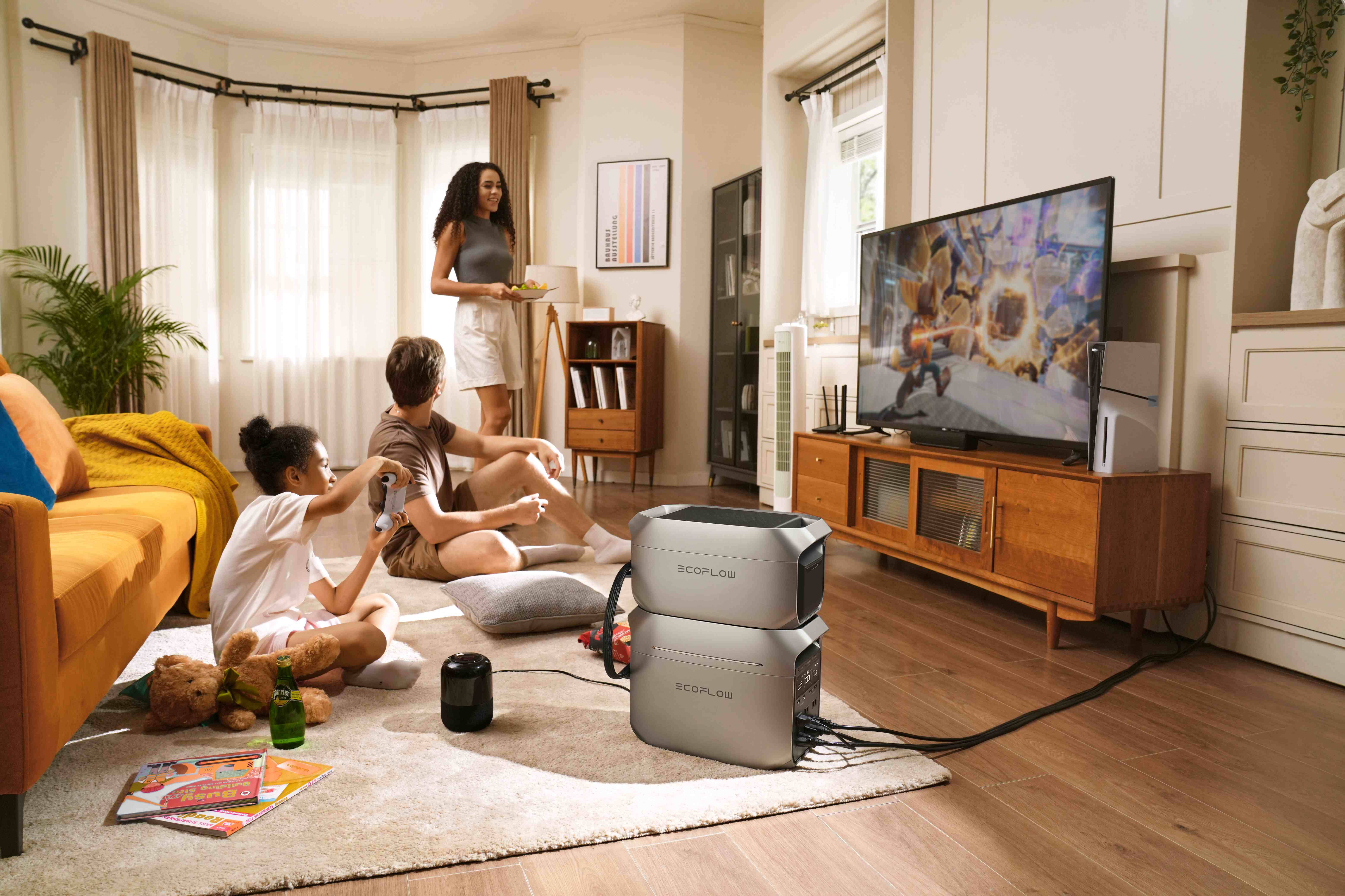
Jet stream forecasts gives you crucial lead time for preparation. When meteorologists predict deep troughs or stalled patterns, that's your signal to check emergency supplies, charge devices, and ensure you have backup heating options. Households with portable power stations like the EcoFlow DELTA 3 Plus Portable Power Station can maintain refrigeration, run heating systems, and keep communication devices operational during extended outages.
The key is acting before roads become impassable and store shelves empty. A jet stream dipping southward typically gives you 3-5 days of warning, which is enough for you to prepare if you know what to look for.
FAQs
Q1. How Does the Jet Stream Affect Airplane Flight Times?
Airplane routes are planned for either utilization or avoidance based on the jet stream. Flights going to New York from Los Angeles are 30 to 60 minutes faster if the pilots fly their airplanes through the strongest point of the jet stream, which gives the plane a tail wind of 150 mph and above. Flights going to Los Angeles are delayed because the airplanes are fighting the winds.
Q2. Can Climate Change Alter Jet Stream Behavior?
Studies reveal that the Arctic warming could weaken and disrupt the polar jet stream. As the difference in temperatures between the polar and middle latitudes diminishes, the jet stream would tend to lose some of the forces that keep it intact and could deviate from its normal path. This would translate to frequently occurring locked-in kinds of weather, such as extended heatwaves, drought, and cold spells.
Q3. Why Does the Jet Stream Shift Position Seasonally?
The jet stream correlates with the direct sunlight, which moves from one hemisphere to the other depending on the seasons. During summer, the high levels of solar heating force the polar jet stream to migrate to the Canadian and European sectors. During winter, the low levels of solar heating cause the jet stream to shift southward into the United States.
Q4. What Causes the Jet Stream to Split Into Multiple Branches?
Mountain ranges, especially the Rocky Mountains and the Himalayas, can physically interrupt the jet stream, and as such, the jet stream splits around them. Large land and sea temperature contrasts are mainly the reasons for the jet stream splitting into the Northern and Southern branches. This always happens near the continents of Asia and North America.
Stay Prepared for Jet Stream Weather Events
The jet stream operates as Earth's master weather controller, steering storms and air masses that determine whether you will face mild conditions or extreme weather events. By understanding its patterns and monitoring forecasts, you gain valuable time to prepare for approaching weather systems. When those preparations include reliable backup power solutions, you are ready to weather whatever pattern the jet stream delivers, keeping your household safe, comfortable, and connected even when severe weather tests your local grid. Stay informed, stay prepared, and let the jet stream work for you rather than against you.
For press requests or interview opportunities, reach out to our media team
media.na@ecoflow.com