Freezing Rain vs. Sleet: What’s the Difference and Why It Matters
When winter storms roll in, the sky can deliver precipitation in forms that look deceptively similar but behave very differently on impact. Freezing rain and sleet are two such icy culprits. They can both turn roads slippery and pose hazards to travel, and even cause power outages. Understanding the distinction between them is essential for safety, planning, and even property protection.
In this article, we’ll break down the science behind freezing rain and sleet. We’ll also explore how they work and explain why knowing the difference can make a difference when winter weather arrives.
Sleet and Freezing Rain: Origins and Ground Impacts
Both sleet and freezing rain start as snow high in the atmosphere, but temperature layers determine their final form. As snow falls through a warm layer, it melts into rain. If it then passes through a deep cold layer, the drops refreeze before hitting the ground, forming sleet. Sleet is small ice pellets that bounce and make surfaces slick but not heavily coated.
When the cold layer is shallow, raindrops stay liquid until contact, then freeze on impact as freezing rain. This creates an icy glaze that clings to roads, trees, and power lines.
Sleet Formation
Sleet forms when snowflakes fall from high, cold clouds and pass through a shallow layer of warm air just above the ground. In this layer, the snowflakes partially melt, becoming slushy or semi-liquid. As they continue to fall, they enter a deeper subfreezing layer closer to the surface, where the droplets refreeze into small ice pellets before reaching the ground.
This process involves three key layers:
A cold layer aloft, where snow originates.
A narrow warm layer, where partial melting occurs.
A cold surface layer, where refreezing completes the transformation into sleet.
Unlike freezing rain, which fully melts and then freezes upon contact with the ground, sleet refreezes before landing and creates ice pellets. Over time, these tiny ice pellets can form a firm but slippery layer that affects travel and visibility during winter storms.
Freezing Rain Formation
Freezing rain forms through a sequence of temperature changes in the atmosphere. It begins as snow high in the clouds, where temperatures are well below freezing. As the snowflakes fall, they pass through a layer of warm air that causes them to melt into liquid raindrops. Beneath this warm layer lies a shallow layer of cold air near the ground.
Because this lower layer is too thin and shallow, the raindrops do not have enough time to refreeze into sleet before reaching the surface. Instead, they become supercooled. So they remain liquid even though their temperature has dropped below freezing. When these supercooled droplets make contact with objects such as roads, trees, or power lines, they instantly freeze, forming a coating of ice.
Thus, freezing rain occurs when snow melts but does not refreeze before hitting the surface, and it refreezes on contact.
Weather and Power: Preparing for Winter Storms
Winter storms can disrupt daily life in serious ways, especially when it comes to electricity. Power resilience becomes critical during these events, as outages can leave homes without heat, water, and essential services.
Freezing rain and ice storms are particularly hazardous because the weight of ice can accumulate on power lines and tree branches, causing widespread damage and outages.
Preparing ahead for winter storms (through strategies like backup power solutions, clearing tree limbs near power lines, and keeping emergency supplies on hand) can make a major difference in safety and comfort during prolonged winter storms.
Power Readiness During Ice Events
Ice storms can create hazardous conditions. They often lead to widespread power outages caused by downed trees and frozen power lines. Being prepared in advance helps minimize disruption during a storm.
Stay informed: Monitor local weather forecasts and utility alerts for ice storm warnings.
Emergency supplies: Keep flashlights, batteries, a battery-powered radio, non-perishable food, and water on hand.
Backup power: Consider generators or alternative power sources.
Protect your home: Trim trees near power lines and secure outdoor equipment that could be damaged or cause damage.
Safety planning: Have a plan for heating, cooking, and communication if the power goes out.

Frequently Asked Questions
Is Freezing Rain the Same as Black Ice?
Freezing rain and black ice are related but not identical. Freezing rain occurs when rain freezes on contact, forming an icy coating. Black ice, a thin, transparent layer, often develops on roads from freezing rain or refrozen snowmelt. While freezing rain can cause black ice, frost can create it too.
What States Get Freezing Rain?
Freezing rain occurs in many U.S. states during winter, especially in the Northeast, Midwest, and Appalachians, like New York, New Jersey, Pennsylvania, Ohio, Michigan, and West Virginia. It can also happen in parts of the Southeast and occasionally in the Pacific Northwest and northern Rockies.
Does Sleet or Freezing Rain Cause Power Outages?
Yes, both sleet and freezing rain can cause power outages, but freezing rain is more dangerous. Ice from freezing rain can build up on power lines and tree branches and cause them to snap, while sleet usually bounces off surfaces and rarely causes major outages.
Understanding Icy Weather Improves Safety and Builds Readiness
Both freezing rain and sleet can be dangerous, but in different ways. Sleet rarely causes power outages, but freezing rain can be a culprit there. If you live in areas where freezing rain is a regular occurrence, like in the Northeast, you should be prepared for power outages.
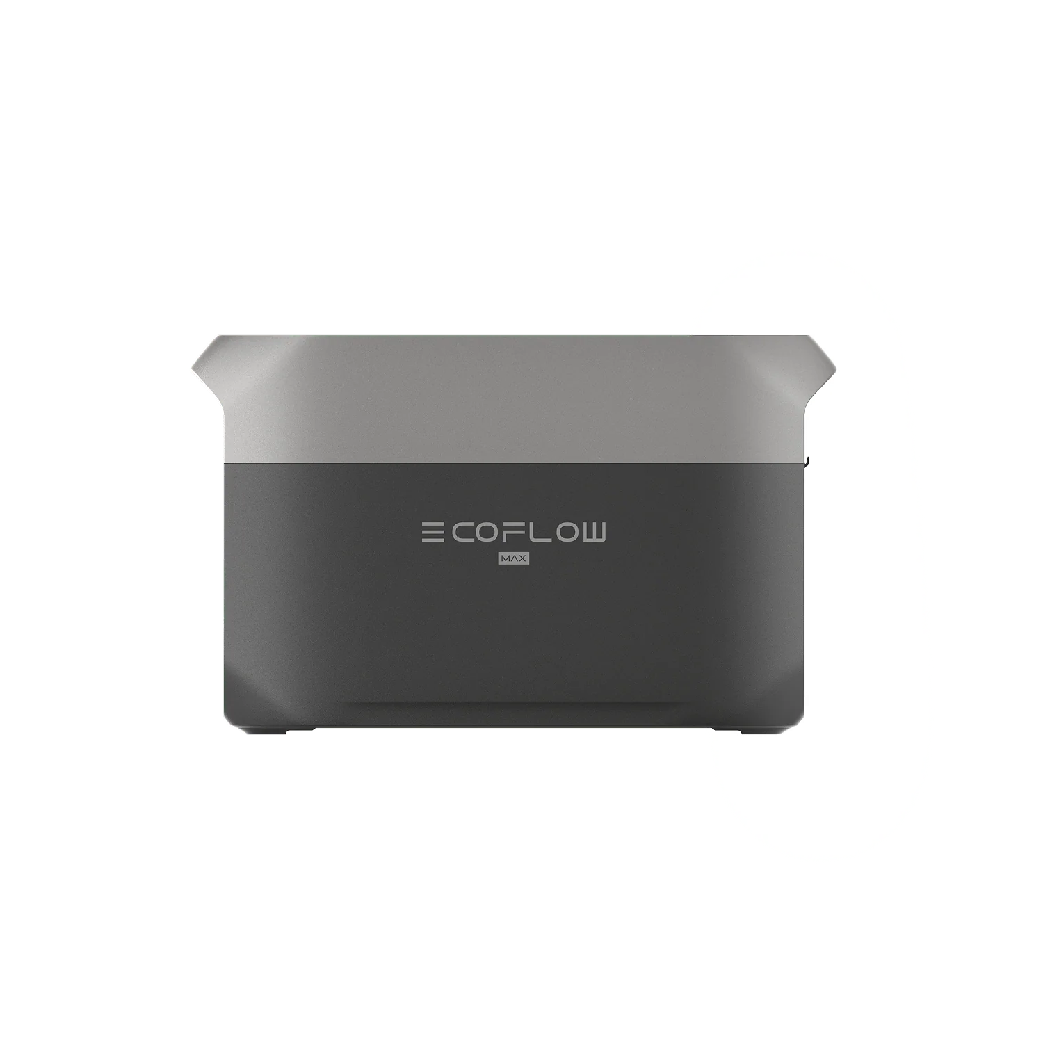
Make sure you have a portable power unit, like a home solar setup or a generator, so you can keep your heat and appliances going even if the grid goes down. Consider EcoFlow DELTA 3 Max Plus, a portable power station that’ll keep your essentials running, even during an outage.
For press requests or interview opportunities, reach out to our media team
media.na@ecoflow.com