What Is Graupel? And How It Differs From Sleet and Hail
Skywatchers often find themselves baffled when tiny white spheres bounce off their jackets instead of delicate flakes or jagged ice. These mysterious particles occupy a unique space in the world of meteorology. Known formally as graupel, this weather event bridges the gap between typical snow and frozen rain. Exploring the mechanics of these pellets reveals the complex interactions occurring miles above the ground during a cold front.

Definition and Characteristics of Graupel Snow Pellets
According to the NOAA’s National Severe Storms Laboratory, graupel is officially defined as small, opaque ice particles that form through the riming process. These soft, white grains often appear during transition periods in the weather. They lack the crystalline structure of traditional snowflakes and the clear, icy hardness of sleet.
Physical Appearance of Graupel Snow
Graupel snow typically appears as small, white, round grains. Unlike a standard snowflake that displays six-pointed symmetry, a pellet of graupel looks more like a tiny ball of popcorn or a miniature snowball. The diameter usually stays within a small range of a few millimetres. Because these particles trap air inside their structures, they remain remarkably light and lack the transparency associated with solid ice. Identifying them correctly requires looking at how they react when they hit a surface. Unlike ice, which shatters or slides, these pellets tend to bounce and then crumble if pressed.
Texture and Fragility of Snow Pellets Graupel
The structural integrity of snow pellets, graupel, is quite low compared to other frozen forms. If you catch one in your hand, you can easily crush it with minimal pressure. This fragility stems from its formation process, which creates a rime coating over a central snow crystal. Rime refers to a coating of ice that forms when extremely cold water droplets freeze quickly onto a surface. Several key physical traits define this weather element:
The exterior is rough rather than smooth.
The colour remains consistent, milky white.
The particles bounce significantly when hitting hard pavement.
The interior contains numerous tiny air pockets that contribute to its low density.
Formation Process of Graupel in the Atmosphere
The journey of a graupel pellet begins high in the clouds, where temperatures are well below freezing. For this specific phenomenon to occur, a snowflake must fall through a layer of the atmosphere containing supercooled water. This refers to liquid water that remains in a liquid state even though its temperature has dropped below the standard freezing point.
Role of Supercooled Water Droplets in Riming
When a snowflake passes through a cloud of supercooled water, the droplets instantly freeze upon contact with the snow crystal. This specific accumulation process is known as riming. As more droplets attach to the flake, the original shape of the snowflake is lost. Accretion is the term scientists use for this gradual increase in size as more water layers freeze onto the core. Eventually, the crystal is completely encased in a layer of crusty ice, transforming it into the rounded pellet we see on the ground.
Atmospheric Environment Required for Graupel Snow
Certain conditions must align for graupel snow to form successfully. There must be enough vertical motion in the atmosphere to keep the particles suspended long enough for riming to occur. Typically, this happens in convective clouds where air rises quickly. Convective clouds are those formed by rising warm air currents, often leading to sudden showers. If the air is too warm, the pellet melts into rain. If the air is too dry, the riming process might not be heavy enough to create the distinct round shape associated with this winter event.
Comparison of Graupel vs Hail vs Sleet
Distinguishing between various types of frozen water can be difficult for the casual observer. While they all fall from the sky during cold periods, their origins and physical impacts vary significantly.
The following data highlights the primary differences between these three common types of winter precipitation.
| Feature | Graupel | Hail | Sleet |
| Primary Origin | Snow crystal + supercooled water | Strong thunderstorms | Refrozen raindrops |
| Consistency | Soft and crushable | Hard and solid | Hard and icy |
| Appearance | Opaque white | Clear or layered | Mostly transparent |
| Shape | Rounded pellets | Irregular or spherical | Small beads |
This comparison clarifies why people often confuse these terms during a storm.
Structural Differences in Graupel vs Hail
The debate of graupel vs hail often arises because both look like small white balls. However, hail is much denser and forms within intense thunderstorm updrafts. Updrafts are strong upward currents of air that carry water droplets to very high, cold altitudes. In the hail vs graupel comparison, the most obvious difference is the strength of the particle. Hail is made of solid ice and can cause significant damage to vehicles or crops. Graupel is soft and essentially behaves like a heavy, dense version of snow.
Contrast Between Sleet and Snow Pellets
Sleet forms differently from snow pellets. Sleet starts as snow, melts into rain as it hits a warm layer of air, and then refreezes into a tiny ice pellet before reaching the ground. This results in a clear, bouncy bead of ice. In contrast, graupel never fully melts during its descent. It remains an accumulation of frozen droplets around a snow core, which explains its matte white finish and softer feel.
Impact of Graupel on Safety and Nature
While it might look harmless, the accumulation of these pellets has real-world consequences for both humans and the environment. Because graupel acts differently from flat snowflakes, it changes the way we interact with the winter landscape.
Road Hazards and Winter Driving Risks
Driving on a layer of graupel can feel like driving on a bed of tiny marbles. Because the pellets are round and relatively sturdy, they do not pack down immediately like fluffy snow. Instead, they can create a rolling layer between a car tyre and the pavement. This leads to a sudden loss of traction, often catching drivers by surprise because the road may look like it is just covered in light slush. The small size of the pellets allows them to fill the tread of a tyre, reducing the ability of the vehicle to grip the road surface effectively.
Role of Graupel in Avalanche Formation
In mountainous regions, graupel plays a dangerous role in snowpack stability. According to the experts at Avalanche, graupel is often described as behaving like a pile of ball bearings buried within the snow. Because the pellets are rounded and heavily rimed, they do not bond well with other snow layers. This creates a significant structural flaw in the snowpack that can lead to hazardous conditions for backcountry travelers.
Stay Informed on Changing Winter Weather
The weather can change quickly, so it is important to know the difference between soft pellets and ice so that you can protect yourself. If you monitor the weather forecast, you can determine the likelihood that the roads will be hazardous. It is always wise to check the traction devices on your car as soon as the frozen precipitation starts falling.
FAQs
Q1. Is It Possible to Use Graupel for Winter Activities Like Sledding?
No, graupel is not an ideal snow type for sledding and snowball construction. This is because the graupel pellets are rounded and do not stick together as in the case of wet snow. As a result, the surface formed is not ideal for sledding since the sledder would sink instead of gliding. Also, the snowballs would disintegrate before they could be formed.
Q2. Should I Prepare for Power Outages During Graupel Storms?
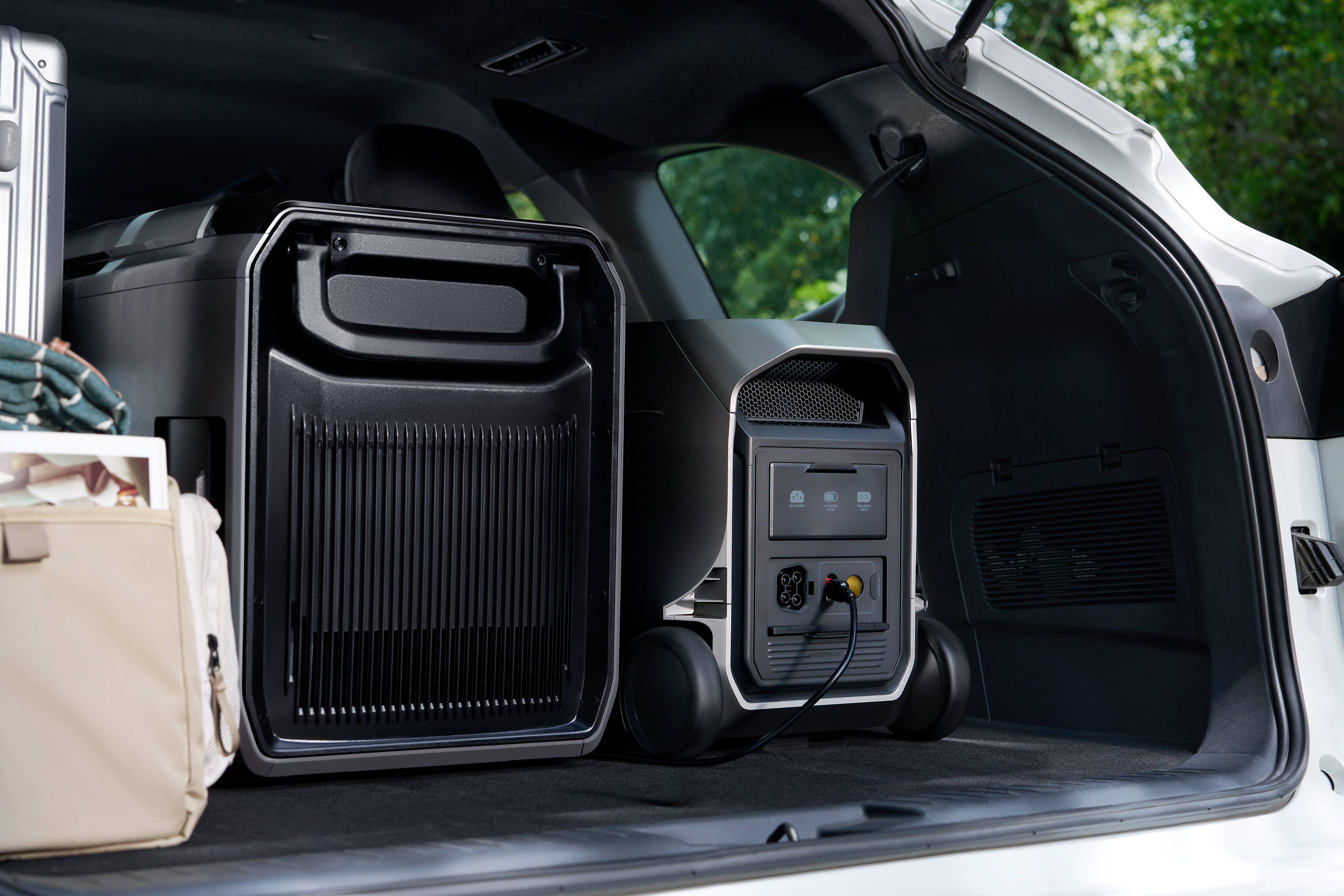
Yes, because graupel often accompanies volatile cold fronts that can cause sudden ice buildup and grid instability. For uninterrupted peace of mind, many households rely on a backup solution like the DELTA 3 Ultra Plus Portable Power Station (3072Wh) to stay powered during unpredictable winter outages. This industry-leading station acts as a reliable home backup, providing a reliable way to extend the runtime of your most important devices, from kitchen essentials to heaters, when the winter weather takes an unexpected turn. With its EV-grade LFP battery technology and 24/7 BMS protection, it helps your family stays warm and connected for years to come, even when winter weather takes an unexpected turn.
Q3. How Can I Tell if It's Graupel or Sleet Falling Outside?
The best way to tell the difference between graupel and sleet is to pick one of the pellets and take a closer look at it. The graupel will be white and opaque, and you should be able to break it easily by hand, like you’re trying to break a small piece of Styrofoam. The sleet, on the other hand, will be clear, hard like ice, and very difficult to break by hand. In addition, the graupel will form in a loose, grainy layer like coarse sand, while sleet forms in a solid layer of ice.
Q4. What Time of Year Is Graupel Most Common?
The formation of graupel usually takes place from the end of fall to the beginning of spring, depending on the atmospheric conditions that lead to the formation of snow crystals and supercooled water droplets. Graupel usually forms during transitional atmospheric conditions, especially during the passage of cold fronts in areas with high moisture and convection. Graupel may form at any time if the atmospheric conditions are sufficiently cold, but it commonly forms in areas with high mountainous terrain and frequent winter storms with strong vertical air motion within the clouds.