Weather Radar: Purpose, How It Works, and How to Use
Anyone who has lived through a surprise Alberta snow squall or watched a line of thunderstorms race across the Great Lakes knows how quickly Canadian weather can turn. Long before the wind picks up or the first flakes fall, one tool quietly gives us the heads-up we rely on: weather radar. Weather radar isn’t just another app feature, it’s the system that helps meteorologists spot developing storms, issue timely warnings, and give Canadians the chance to prepare. Whether you’re planning a highway drive, checking for incoming freezing rain, or staying updated during a coastal storm, radar is often the first indicator that something significant is coming.
This guide explains what weather radar is, why it’s so essential in a country like Canada, and how you can use it to stay informed and ready when the weather shifts.
What is Weather Radar Technology
Weather radar, often referred to as Doppler radar, is the backbone of modern forecasting. It works by sending out tiny bursts of microwave energy into the atmosphere. When those pulses strike raindrops, snowflakes, hailstones, or even swarms of insects, a portion of that energy bounces back to the radar site. By measuring the strength and timing of those returning signals, the system can identify where precipitation is forming, how heavy it is, and in which direction it’s moving.
This constant stream of data is processed by meteorologists at Environment and Climate Change Canada (ECCC), who transform it into the colourful radar maps Canadians rely on. Whether you're checking for a line of thunderstorms pushing toward Vancouver Island or tracking a fast moving snow squall near Winnipeg, this technology provides valuable warning time and helps keep communities prepared across the country’s incredibly varied climate zones.
Core Purposes of Weather Radar Systems
Weather radar does much more than display a patch of green or red on a map. It’s a multi-purpose tool that plays a major role in keeping Canadians safe, supporting transportation, and helping communities prepare for whatever the atmosphere throws our way. From day to day planning to large-scale emergency response, radar information influences countless decisions across the country. Additionally, weather radar is crucial for preparing for power outages during Canada weather warnings, allowing residents to take proactive steps to ensure they’re ready for severe storms and adverse conditions.
Detecting and Tracking Severe Weather Events
One of the most important jobs of weather radar is to spot dangerous weather before it hits. In regions like the Prairies, where storms can escalate quickly and a rotating cloud can form out of almost nowhere, having real time radar becomes essential. By sweeping the sky every few minutes, radar helps meteorologists pinpoint developing threats and follow their movement. This gives first responders and residents a crucial heads up, allowing them to take shelter or make safety decisions long before the storm reaches their community.
Measuring Precipitation Intensity and Patterns
Weather radar also plays a key role in showing how much rain or snow is actually falling. Whether Montreal is dealing with one of its classic summer cloudbursts or the Rockies are picking up a steady blanket of snow, radar helps meteorologists gauge the strength and spread of the precipitation. This information is essential for flood forecasting and water management, giving cities and smaller communities alike the time they need to prepare for rising water levels or sudden flash flooding.


Supporting Aviation and Marine Safety
Weather radar is also a critical tool for anyone travelling through Canada’s skies or along its coastlines. Pilots taking off from Toronto Pearson rely on real-time radar data to avoid dangerous cells of turbulence or icing, while ships moving through the rough waters off the East Coast depend on the same information to chart a safer course. By showing where storms are building and how fast they’re moving, radar helps keep both air and marine travel running smoothly, protecting crews, passengers, and cargo alike.
Enhancing Emergency Preparedness and Disaster Response
When a major storm is on the horizon, radar becomes one of the most valuable tools for emergency planners. It helps responders pinpoint which neighbourhoods are likely to be hit hardest so crews can be positioned ahead of time, whether that means ambulances, rescue teams, or hydro workers. By understanding the storm’s path and intensity before it arrives, communities can respond faster and more effectively once the worst has passed, reducing downtime and helping people recover sooner.
Contributing to Long-Term Climate and Weather Research
Weather radar doesn’t just help with today’s forecast, it plays a long game, too. The constant stream of data gathered across Canada builds a rich archive of atmospheric behaviour. Researchers use this information to spot long term trends, strengthen climate models, and better understand how storms are evolving in a changing climate. Over time, these insights lead to more accurate forecasts and help communities plan for the weather patterns future generations will face.
How Weather Radar Works
To make sense of the colourful radar maps we rely on, it helps to understand what’s happening behind the scenes. Weather radar doesn’t just “see” rain or snow, it measures how precipitation behaves in the atmosphere using two core pieces of information.
Reflectivity: Measuring Precipitation Intensity
Radar sends out brief bursts of energy that bounce off whatever is in the air, raindrops, snowflakes, hail, even tiny ice pellets. The stronger the return signal, the heavier the precipitation. Those signals are then translated into the familiar colour gradients you see on a radar map, ranging from light blues for gentle snowfall to deep reds for intense storms. It’s the radar’s most direct way of showing how heavy the precipitation is.
Doppler Velocity: Understanding Wind and Motion
Doppler radar adds an extra layer of insight by tracking how precipitation moves inside a storm. It works on the same principle that makes a passing ambulance siren rise and fall in pitch. When raindrops or snowflakes move toward the radar, the returning signal shifts slightly, when they move away, it shifts the opposite way. Radar software translates these shifts into colour coded images, usually green for motion toward the radar and red for motion away. When these contrasting colours appear side by side, meteorologists know the winds inside the storm are twisting sharply, a key sign of wind shear or developing rotation that can lead to tornado formation.
The Multi-Scan Process: Building Complete Storm Pictures
To capture the full character of a storm, the radar doesn’t just spin in one flat circle. It sweeps the sky in a full rotation, then tilts slightly upward and scans again, repeating this at several heights. This layered approach, known as a Volume Coverage Pattern, creates a detailed, three dimensional snapshot of the atmosphere every few minutes. With these stacked scans, meteorologists can analyze everything from low level rain bands to the towering tops of thunderstorms, giving them a clearer understanding of a storm’s strength and potential risks.


How to Use Weather Radar
You don’t need to be a weather expert to make sense of radar maps. With a bit of know-how, radar becomes a practical tool that helps you stay ahead of storms, plan travel, and protect your home during fast-changing conditions.
Accessing Weather Radar Information
In Canada, the most trustworthy source for radar data is Environment and Climate Change Canada (ECCC), which offers reliable, coast to coast coverage. You’ll also find radar layers built into many weather apps and local news apps. Whenever possible, choose a high resolution, real time radar feed, this gives you the most accurate picture of what’s heading your way.
Interpreting Weather Radar Colour Schemes
Although every app has its own style, the colour scale follows a similar pattern: lighter colours usually represent light precipitation, while deeper shades point to heavier rain, snow, or hail. Understanding these colours helps you quickly gauge the intensity of what’s coming and how soon you may need to prepare.
| Colour | Reflectivity Intensity | Interpretation |
|---|---|---|
| Light Blue/Green | Low | Light rain or snow. |
| Yellow/Orange | Medium | Moderate to heavy rain. |
| Red/Magenta | High | Very heavy rain, hail, or intense thunderstorms. |
Using Weather Radar for Severe Weather Assessment
When you’re trying to judge how dangerous a storm might become, the radar map can tell you far more than just “rain” or “snow.” Pay close attention to both the colours and the shapes that show up.
Red and Magenta
Large patches of deep red or magenta usually point to an intense storm core, think heavy downpours, strong updrafts, and a higher chance of hail. When these colours start expanding or moving quickly, take it seriously.
The Hook Echo
If you notice a curved, comma shaped feature on the reflectivity map, that’s known as a hook echo. It’s one of the classic signatures of a rotating supercell and often signals a heightened tornado risk. Prairie provinces, in particular, watch closely for this pattern.
Doppler Velocity Map
On velocity scans, look for bright red beside bright green. That tight couplet, air rushing away from the radar beside air rushing toward it, suggests strong rotation within the storm. When that pairing gets tighter or more defined, the storm is becoming more dangerous.
Practical Storm Tracking and Warning Generation
Weather radar becomes especially useful when you use it to follow a storm’s path in real time. Watch how the cells are moving, most systems show the track and speed of the precipitation, giving you a good sense of how quickly it’s approaching your area. If you see a strong storm drifting in from the southwest, for example, you can estimate how long you have to bring outdoor items inside, close windows, or get yourself and your family to a safer spot in the house. Always rely on official warnings first, but let the radar guide your personal preparedness so you’re not caught off guard.


Staying Prepared for Severe Weather and Power Outages
Across Canada, severe weather and power outages go hand in hand. An ice storm rolling across southern Ontario or a strong coastal windstorm in Nova Scotia can knock out electricity for hours, sometimes days. Winter blackout preparedness is especially critical, as prolonged cold can freeze pipes and damage unprotected systems. Having a reliable backup plan isn’t just convenient; it’s what keeps your home safe, your communication lines open, and your access to live radar updates uninterrupted.
Set Up Alerts and Emergency Plans
Make sure your phone and weather apps are enabled to receive Environment and Climate Change Canada (ECCC) alerts. These notifications often come minutes before conditions deteriorate. It’s also smart to designate a safe place in your home and make sure everyone knows where to go when a warning is issued.
Stock Essential Emergency Supplies
A well packed emergency kit is essential during a prolonged outage. Keep enough food and water for several days, along with a first-aid kit, flashlights, extra batteries, and anything you rely on medically. Items that keep your communication devices working should be prioritized, as staying informed is critical when conditions worsen.
Keep Heating Alternatives Ready
During winter outages, dropping indoor temperatures can become dangerous fast. Have a safe backup heating option ready to go, and make sure you can ventilate the area properly. Even a short term heat source can make a significant difference while waiting for the power to return.
Use Battery Backup Systems During Severe Weather
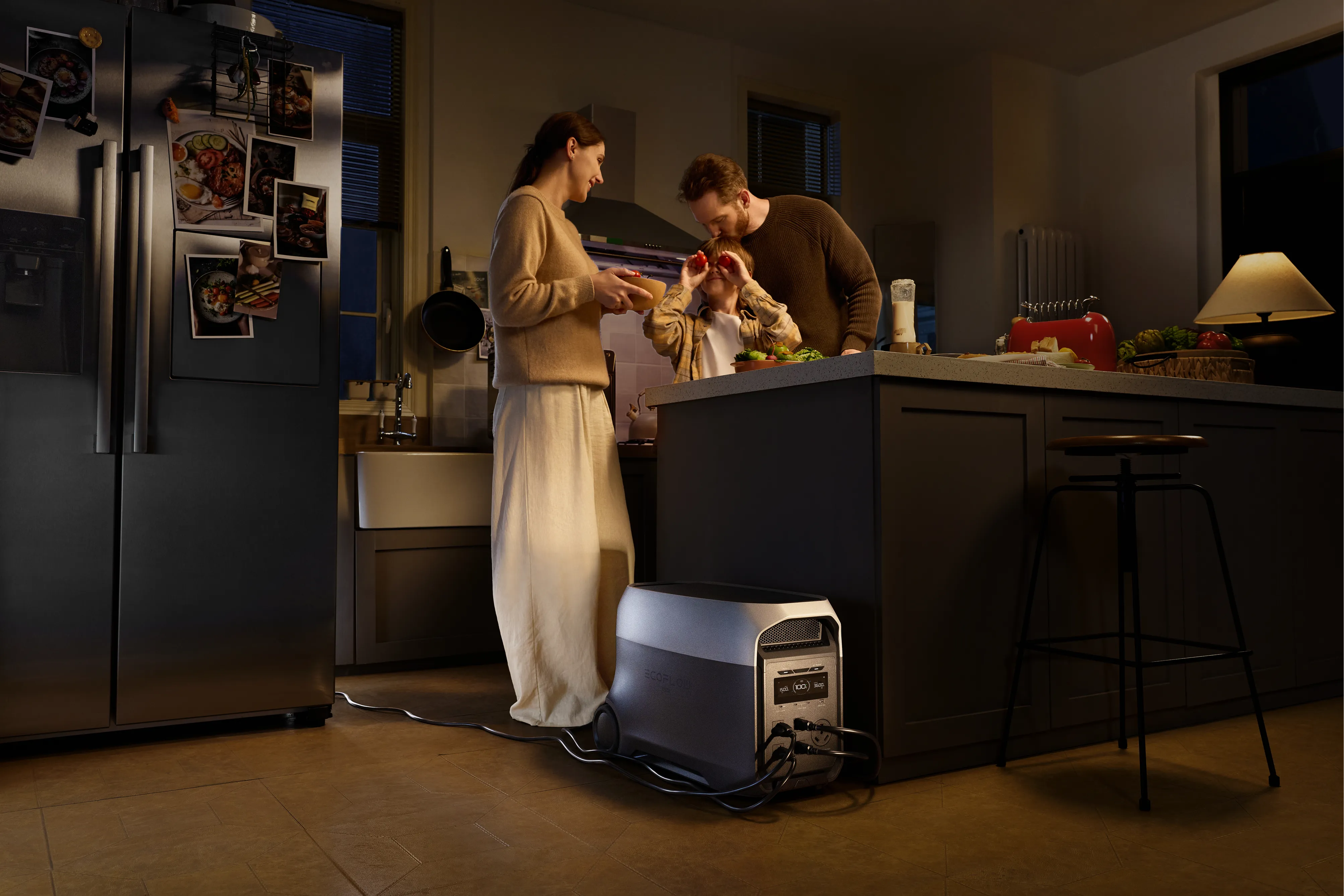
When the power goes out, whether from freezing rain in Ontario or high winds sweeping across the Maritimes, a dependable backup system becomes the backbone of your home. A whole home battery setup can take over instantly, keeping essentials like your fridge, lighting, and Wi-Fi online without any interruption.
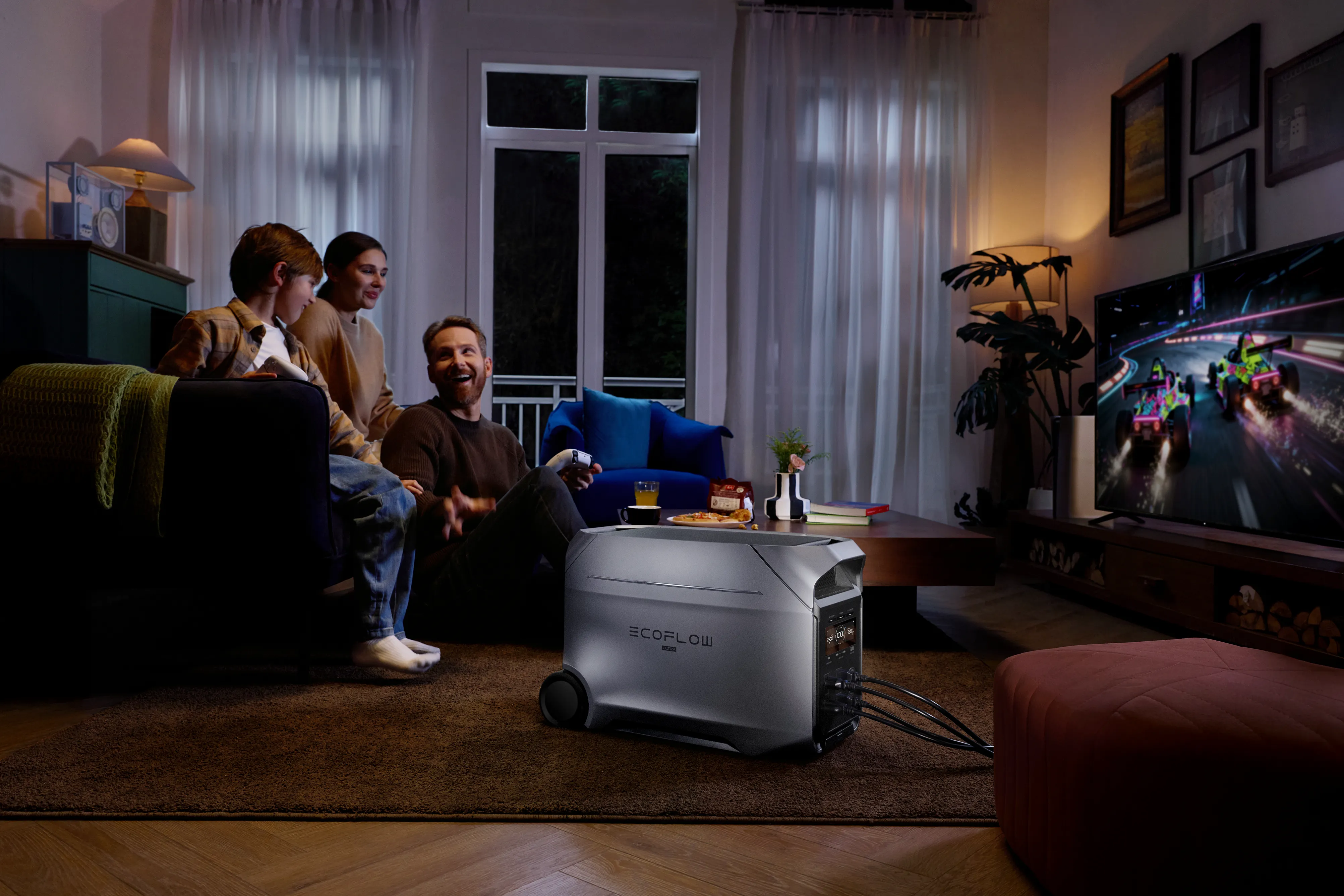
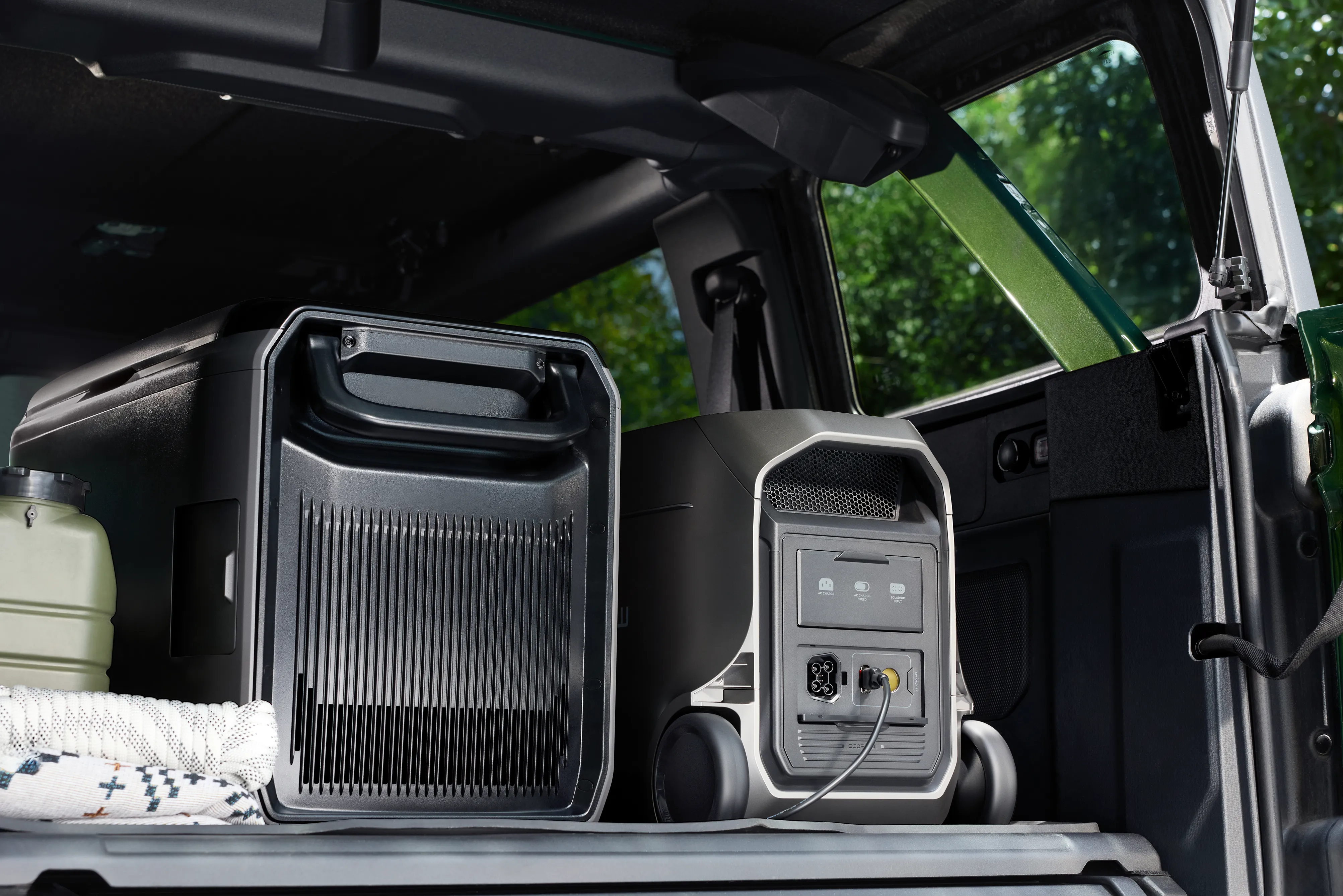
For families who want true peace of mind, the EcoFlow DELTA 3 Ultra Plus (3072Wh) and EcoFlow DELTA 3 Ultra (3072Wh) are excellent choices. These high capacity portable power stations deliver steady, reliable electricity to your most important devices, including your weather apps, communication tools, and any critical medical equipment. Even during long, overnight outages, they’re built to keep your home running smoothly until the grid is restored.
Maintain Phone Connectivity with a Power Bank
When the power goes out, your phone becomes one of your most important tools, your link to weather warnings, emergency updates, and family check-ins. The last thing you need is a dead battery when the storm is still unfolding.
That’s why having a dependable backup is essential. The EcoFlow RAPID Mag Power Bank (with a built-in USB-C cable) is a compact, travel-friendly option that delivers multiple recharges for your phone. Its magnetic design keeps everything simple and cable-free, so you can stay connected to live radar feeds, alerts, and emergency contacts when every minute truly matters.
Conclusion
Weather radar is one of the most powerful tools Canadians have when navigating the country’s fast changing and often unpredictable weather. Understanding how radar works and knowing how to read it helps you move from simply checking the forecast to actively staying ahead of potential threats. Whether it’s a sudden snow squall sweeping across the Prairies or a line of summer thunderstorms rolling in off Lake Ontario, radar gives you the clarity and lead time you need to make smart decisions.
And while information is essential, so is preparation. Pairing this knowledge with a dependable portable power station, such as the EcoFlow DELTA 3 Ultra Series, ensures that you can stay informed, connected, and safe even when the grid goes down. With the right tools and a bit of planning, you can face any storm with confidence, knowing your home and family are protected long after the clouds roll in.
FAQ
What is the main purpose of a weather radar?
The main purpose of weather radar is to detect, track, and measure precipitation, whether it’s rain, snow, or hail, and to monitor the movement of severe weather systems like thunderstorms or potential tornadoes. By providing real-time information, radar gives meteorologists the lead time they need to issue warnings and helps Canadians prepare before dangerous conditions move in.
How can I use a weather radar app for live updates?
Open the reflectivity map on your preferred weather app (such as Environment and Climate Change Canada’s radar viewer). Pinpoint your location, then watch the coloured storm cells move over a few minutes. By checking the direction and speed of those cells, you can judge how soon a storm might reach your area and how intense it may be.
Why does my weather radar map sometimes show delays or errors?
Radar scans the atmosphere in cycles, and each full sweep, known as a Volume Coverage Pattern, takes about 5 to 10 minutes. That built in delay can make fast moving storms appear slightly behind real time. At times, the radar may also pick up non-weather interference like birds, insects, or nearby buildings, which meteorologists work to filter out.
What’s the difference between a house battery backup and a whole home battery backup?
A house battery backup is usually a smaller unit meant to keep just the essentials running, things like a couple of lights, your Wi-Fi, and your phone chargers. It’s a good short term option for brief outages. A whole-home battery backup, such as the EcoFlow DELTA 3 Ultra Series paired with a transfer switch, is built for a much broader load. It can support major circuits in your home, offering a smoother, longer lasting power supply during extended outages. The result is a far more comfortable and uninterrupted experience, especially during Canada’s tougher winter storms.
Can a portable power station support weather radar equipment or emergency electronics?
Yes, it can. Portable power stations, such as the EcoFlow DELTA 3 Ultra models, deliver clean, stable AC power that’s safe for sensitive electronics. During a power outage, they can keep essential devices like your modem, Wi-Fi router, laptop, phone chargers, and other emergency tools running without interruption. This ensures you can still access live radar updates, stay connected with family, and follow emergency alerts when the weather turns rough.