Cairns Flooding Preparation: Flood Zone Guide
Cairns’ unique topography, combined with heavy tropical rainfall, makes the region especially vulnerable to intense flooding. During the wet season, this ongoing threat leaves many residents on the edge. Understanding your property's flood risk is crucial for both safety and preparedness. This guide will help you assess how flood-prone your area is and familiarize you with past Cairns flooding events.
How to Check Cairns Flood Zone?
Understanding your property's flood risk in Cairns is vital for effective preparedness and safety. Several resources are available to help you assess vulnerability to flooding.
Cairns Council Flood Maps
The most direct and local tool for evaluating flood hazards in your region is the Cairns Council Flood Maps. Based on one-in-100-year rainfall events, these maps display thorough flood modeling and enable you to see how water can impact certain streets and suburbs. You can see several flood-prone sites, including Barron, Cairns Northern Beaches, Redlynch Valley, and the Cairns CBD.
Regularly updated and accessible via the council website, the Cairns flood map offers vital information for planning and risk assessment to companies and residents. The resource site ought to be your initial stop to know what sort of water flow or inundation could reach your property during extreme weather conditions.
FloodCheck Queensland
The Queensland Government offers FloodCheck Queensland, a state-wide tool to find historical floods in Cairns. Although it doesn't substitute for the more thorough Cairns flood maps from the council, it provides a wider view of river catchments, floodplains, and historical flood events all across Queensland.
This Cairns Australia flooding tool lets you check how past floodwaters have flowed throughout the area. It enables you to find long-term flood areas Cairns trends that could affect your home. Property owners fully utilize it before purchasing buildings, developing lands, or pursuing other investments.
Cairns Disaster Dashboard
The Cairns Disaster Dashboard offers real-time alerts during emergencies including flash floods and tropical storms. The site shows evacuation notices, flood camera footage, road closures, and current weather alerts in one location. This is the most consistent source of up-to-date local information if you are tracking flood zones Cairns occurrences during an active storm.
The dashboard also directly connects to the Bureau of Meteorology and other official authorities, allowing you a clear perspective of developing events. This tool is vital for remaining safe, whether you are looking for safe pathways during Cairns floods or checking for flood alerts.
Historical Flood Events in Cairns
Cairns has had many major floods. These events demonstrate how quickly tropical systems, strong rain, and topography can cause dangerous floods.
The 1977 Cairns Flood
March 1977 experienced one of Cairns' worst floods. Days of severe rain caused the Barron River to overflow, flooding the area. In Stratford, Freshwater, and Redlynch, several homes and roads were flooded. Blockages on transport networks isolated cities and delayed emergency response. This flood showed how vulnerable low-lying Cairns flood zone areas are to prolonged wet season rainfall.
Cyclone Justin – 1997
Flooding and rain from Cyclone Justin hit Queensland in March 1997. The tropical system caused infrastructure damage, power disruptions, and flash floods in Cairns. While roads and bridges were impassable, some homes were destroyed.
Cairns was devastated by the floods that followed the cyclone, showing how interconnected wind and water risks are. It reminds us that slow-moving tropical systems can cause devastating floods.
The 2000 Flash Floods
Many Cairns districts experienced flash floods in early 2000 due to heavy rains. Unlike river-based floods, this calamity struck quickly and surprised many. Short-lived storms flooded CBD and Northern Beaches streets.
Local council warnings on flash flooding versus river floods raised awareness. It also prompted Cairns flood map modifications and drainage system inspections in vulnerable areas.
Cyclone Yasi – 2011
Even though Cairns avoided Cyclone Yasi, one of Queensland's strongest storms, it flooded the surrounding area. Southern cities were hit by the Mulgrave and Russell Rivers' rapid rise. Emergency services were stretched in remote flood-stricken areas.
Cairns floods improved emergency coordination and use of the Disaster Dashboard. It still changed how the city prepares for events.
Barron River Flood – 2023
In December 2023, Tropical Cyclone Jasper made landfall near Wujal Wujal, north of Cairns, as a Category 2 storm. The system stalled over the region, resulting in unprecedented rainfall exceeding 2 meters in some areas.
Notably, the airport's flood gauge experienced a data outage during this period. Based on anecdotal evidence, the flood peak was estimated at approximately 4.40 meters, surpassing the previous record of 3.80 meters set in March 1977.
The severe flooding led to the evacuation of residents, closure of Cairns Airport, and significant damage to infrastructure. The event underscored the need for improved flood mitigation strategies in Far North Queensland.


How Can Residents Prepare for Future Flooding?
Flooding in Cairns can happen suddenly, especially during the wet season when tropical systems bring heavy and sustained rain. Preparation is key to staying safe and minimizing disruption when the next flood event strikes. Here are four practical ways you can prepare:Flooding in Cairns can happen suddenly, especially during the wet season when tropical systems bring heavy and sustained rain. Preparation is key to staying safe and minimizing disruption when the next flood event strikes. Here are four practical ways you can prepare:
Know Your Local Flood Risk and Evacuation Routes
Knowing your property's flood danger using the Cairns flood map is crucial. Learn about your local evacuation routes and refuges through the Cairns Disaster Dashboard. Print this information in case the internet or cellphone services fall down. Planning ahead lets you act quickly and confidently when warned.
Create a Flood-Specific Emergency Kit
Go beyond the essentials with your emergency kit by including vital belongings like important documents and spare clothes. Protect vital documents, medications, clothes, and first aid items with waterproof storage. Bring rubber boots, strong gloves, and waterproof lamps. Give yourself five days of water and non-perishable food. Regularly review and update your gear to stay ready. It is also necessary to prepare home backup power solutions in your emergency kit.
Invest in a Portable Power Station
Power outages are common during severe weather and floods. Having a high-capacity backup power source can be crucial for comfort and safety. The EcoFlow DELTA Pro Portable Power Station is an excellent option. With a 3600Wh capacity and an AC output range of 3600W to 7200W, it can support 99% of home appliances, from fridges to medical devices. This means you can keep your essential electronics running even if the power outage Cairns lasts for days.
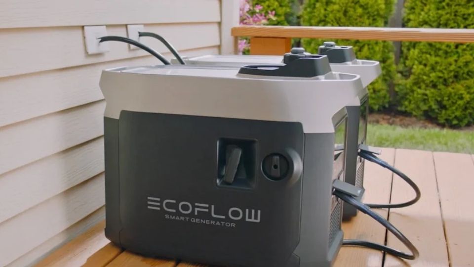
In general, in the face of the threat of floods, knowing in advance the locations of local evacuation routes and shelters, carefully preparing an emergency kit filled with essential supplies, and equipping a portable power station and a generator , these measures have built a crucial emergency defense line against emergencies, greatly enhancing the ability to deal with crises.


Conclusion
Understanding your risk and using the appropriate tools to be informed can help you to be ready for Cairns flooding. Accurate and location-specific information is provided via the Cairns Council Flood Maps, FloodCheck Queensland, and the Cairns Disaster Dashboard. These resources enable people to act early and save their families and homes. Appropriate planning and consistent updates will help you to lessen the effect of coming flood disasters.
FAQs
How often does Cairns experience severe flooding?
Cairns, located in tropical North Queensland, is susceptible to flooding during its wet season, typically from November to May. While minor flooding is relatively common and often leads to inconveniences like road closures, severe flooding events are less frequent. Notable instances include the record-breaking floods of December 2023, when the Barron River exceeded previous records, and significant events in 1977 and 1915. The frequency of severe flooding can vary, influenced by factors such as tropical cyclones and intense rainfall.
What are the best resources for real-time flood alerts in Cairns?
The Cairns Disaster Dashboard offers real-time flood notifications. Other good alternatives include The Cairns Disaster Centre Facebook page and the Bureau of Meteorology (BoM) website. These channels provide current alerts, road closures, flood camera feeds, and emergency instructions. They are particularly beneficial in quickly changing circumstances and extreme weather events.